Atiku
The Northern and Arctic Studies Portal
Resources
1 to 12 of 12
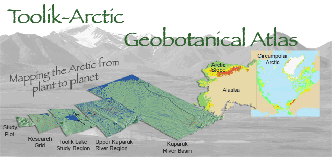
Arctic Geobotanical Atlas (University of Alaska)
Collection of maps illustrating the distribution of vegetation in the Arctic.
- Type of access
- Free - Open Access
- Domain
- Natural Sciences
Arctic Renewable Energy Atlas
A collection of maps on the solar, wind, geothermal, and tidal resources of the Arctic prepared by the Arctic Council’s Sustainable Development Working Group.
- Type of access
- Free - Reference only
- Domain
- Engineering and Technology
- Natural Sciences
Arctic Research Mapping Application
A Web application that allows users to view the locations of Arctic research projects funded by the United States.
- Type of access
- Free - Open Access
- Domain
- Health Sciences
- Humanities and Social Sciences
- Natural Sciences
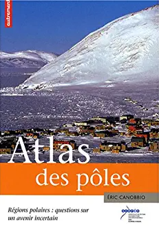
Atlas des pôles : régions polaires : questions sur un avenir incertain
Atlas published by Éditions Autrement presenting the physical and natural environment, First Nations, and environmental, climatic, and geopolitical issues associated with the Arctic and the Antarctic.
- Type of access
- Printed document
- Domain
- Humanities and Social Sciences
- Natural Sciences
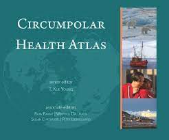
Circumpolar Health Atlas
Uses maps, tables, charts, and images to describe and explain the major health problems of the diverse peoples who inhabit the circumpolar region of the northern hemisphere.
Subjects: Atlas, Circumpolar North, Health, Indigenous peoples, Maps, Medical care, Social determinants of health
Share this resource
To cite
- Type of access
- Printed document
- Reserved Access
- Domain
- Health Sciences
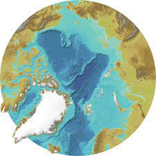
International Bathymetric Chart of the Arctic Ocean
Maps and bathymetric geospatial data of the Arctic north of the 64th parallel.
- Type of access
- Free - Open Access
- Domain
- Natural Sciences
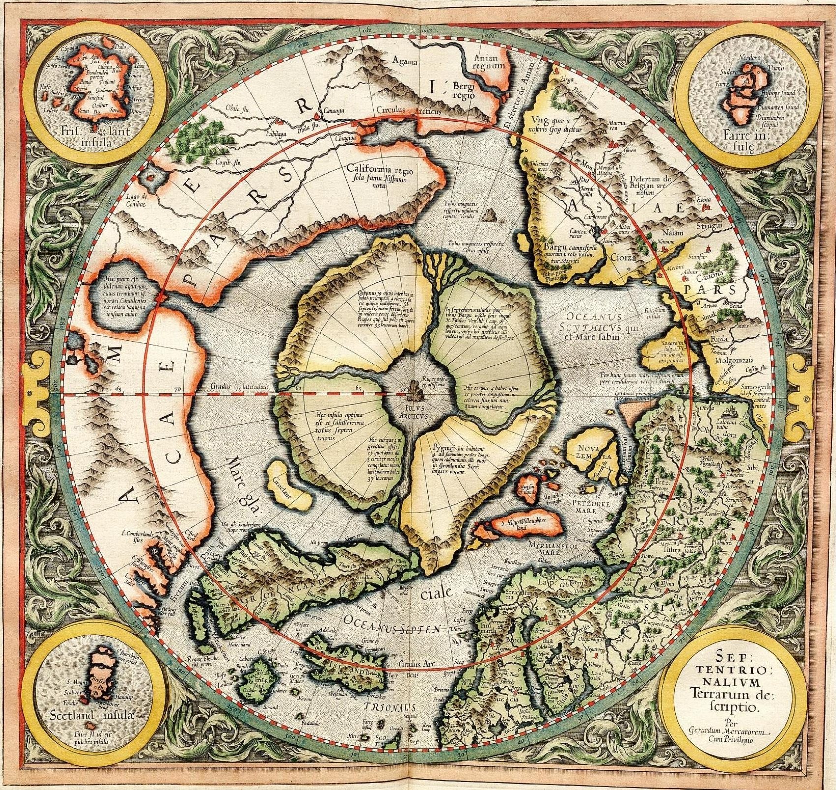
L’Apparition du Nord selon Gérard Mercator (Université Laval)
Web platform that offers an interactive reading of the first printed map (1595) of the circumpolar North.
Subjects: Cartography, Circumpolar North, Gerardus Mercator, Maps, Polar projection
Share this resource
To cite
- Type of access
- Printed document
- Free - Open Access
- Domain
- Humanities and Social Sciences
Maps – United States Arctic Research Commission
Maps and geospatial data of the boundaries of the Arctic.
- Type of access
- Free - Open Access
- Domain
- Natural Sciences

Maritime jurisdiction and boundaries in the Arctic region (Durham University)
Map of maritime zones and Arctic boundaries.
- Type of access
- Free - Open Access
- Domain
- Humanities and Social Sciences
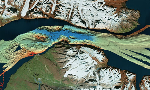
Nan bei ji di tu ji = Atlas of the Arctic and Antarctica
Atlas featuring polar projection maps of the Arctic and Antarctic, as well as regional maps of these areas. The reference work also examines research zones near the poles, in particular those where China is conducting research.
- Type of access
- Printed document
- Domain
- Humanities and Social Sciences
- Natural Sciences
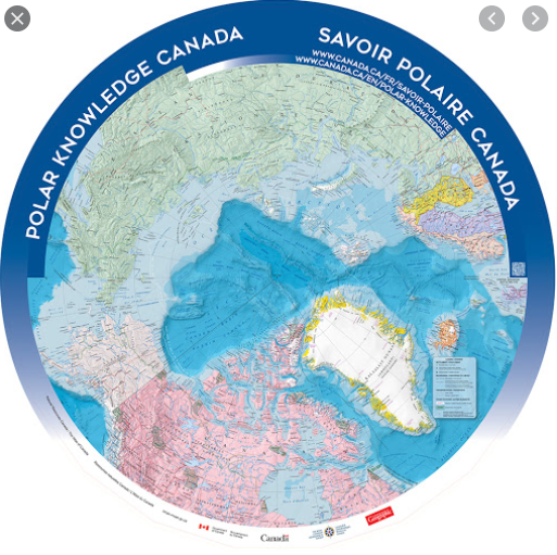
North Circumpolar Map (Gouvernement du Canada)
Polar projection map produced in 2016 indicating settlements, boundaries, transportation networks, glaciers, and national parks.
- Type of access
- Free - Open Access
- Domain
- Humanities and Social Sciences
- Natural Sciences
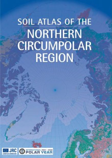
Soil atlas of the Northern circumpolar region
Atlas specializing in soils in the circumpolar North that looks at the composition, their classification and presentation of soils according to local perspectives, as well as how they are being impacted by climate change.
- Type of access
- Printed document
- Domain
- Natural Sciences