Atiku
The Northern and Arctic Studies Portal
Resources
1 to 3 of 3
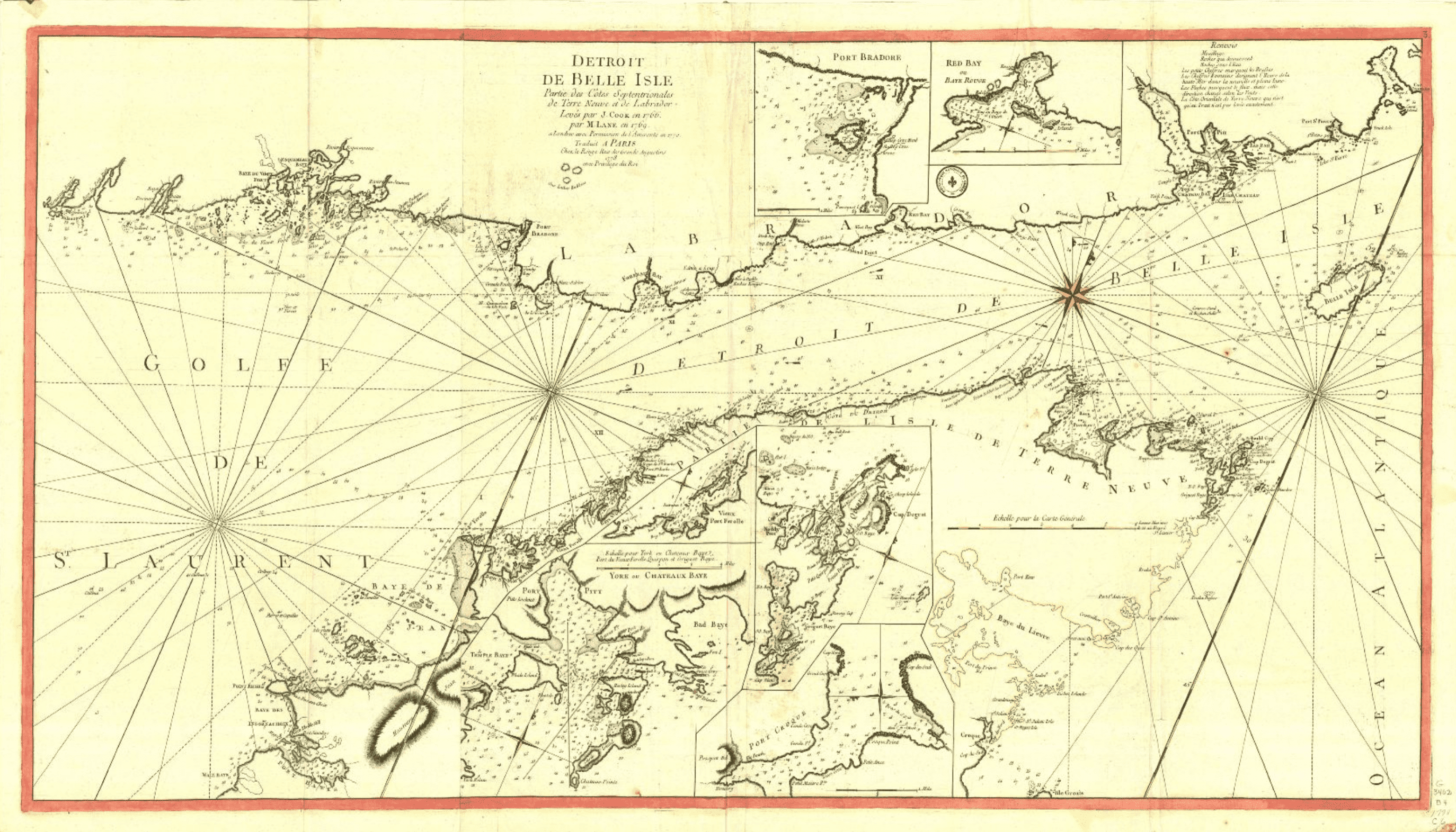
Historical maps: Strait of Belle Isle (BAnQ)
Corpus of ancient maps of the Strait of Belle Isle, including parts of the coasts of Newfoundland and Labrador.
- Type of access
- Free - Open Access
- Domain
- Humanities and Social Sciences
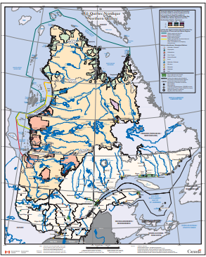
Northern Quebec (Environment Canada) (Environnement Canada)
Map depicting Indigenous lands, nations, and marine regions, as well as administrative regions, municipalities, and hydroelectric power plants.
- Type of access
- Free - Open Access
- Domain
- Humanities and Social Sciences
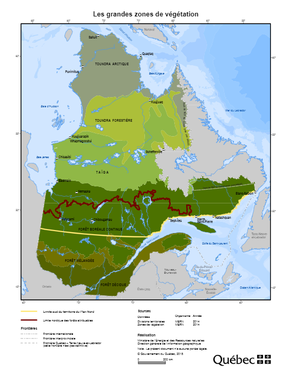
Plan Nord maps (BAnQ)
Collection of geographic and thematic maps (actives mines and mining projects, electricity generation, wildlife areas, vegetation zones, aboriginal communities, etc.) from the Plan Nord program, dedicated to the sustainable development and the enhancement of the resources of northern Quebec.
Subjects: Arctic fauna, Energy, Indigenous communities, Mine exploration, Mining, Mines, Vegetation
Share this resource
To cite
- Type of access
- Free - Open Access
- Domain
- Natural Sciences
- Engineering and Technology
- Humanities and Social Sciences