Atiku
The Northern and Arctic Studies Portal
Search results
21 to 20 to 33
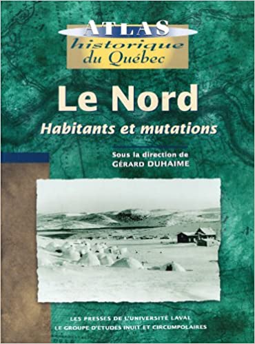
Le Nord : habitants et mutations
Historical atlas with rich textual content about the inhabitants of the North (people of the North Shore, Innu, Cree, Naskapi, and Inuit), exploration of the territory, and its maps, as well as industrialization of the region.
Subjects: Atlas, Indigenous peoples, Maps, Migration, Northern Quebec
- Type of access
- Printed document
- Reserved Access
- Domain
- Humanities and Social Sciences
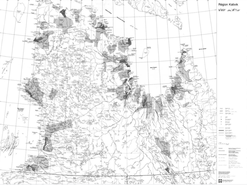
Map of the Kativik region (BAnQ)
Geographic map (scale 1: 1,000,000) of the Kativik region illustrating, among other things, the ancient settlements with Inuit, Cree and Naskapi toponyms.
Subjects: Maps
- Type of access
- Free - Open Access
- Domain
- Humanities and Social Sciences
Maps – United States Arctic Research Commission
Maps and geospatial data of the boundaries of the Arctic.
Subjects: Alaska, Arctic boundary, Maps, United States
- Type of access
- Free - Open Access
- Domain
- Natural Sciences

Maritime jurisdiction and boundaries in the Arctic region (Durham University)
Map of maritime zones and Arctic boundaries.
Subjects: geopolitics, Maps, Maritime juridiction, Territorial waters
- Type of access
- Free - Open Access
- Domain
- Humanities and Social Sciences
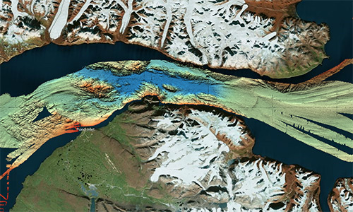
Nan bei ji di tu ji = Atlas of the Arctic and Antarctica
Atlas featuring polar projection maps of the Arctic and Antarctic, as well as regional maps of these areas. The reference work also examines research zones near the poles, in particular those where China is conducting research.
- Type of access
- Printed document
- Domain
- Humanities and Social Sciences
- Natural Sciences
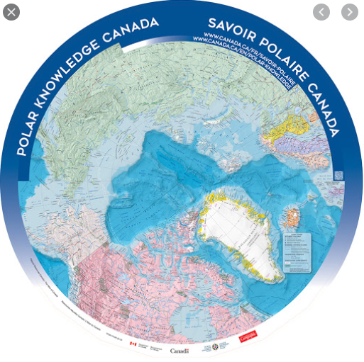
North Circumpolar Map (Gouvernement du Canada)
Polar projection map produced in 2016 indicating settlements, boundaries, transportation networks, glaciers, and national parks.
Subjects: Circumpolar North, Maps, Polar projection
- Type of access
- Free - Open Access
- Domain
- Humanities and Social Sciences
- Natural Sciences
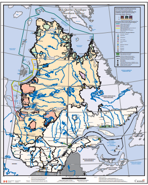
Northern Quebec (Environment Canada) (Environnement Canada)
Map depicting Indigenous lands, nations, and marine regions, as well as administrative regions, municipalities, and hydroelectric power plants.
Subjects: Indigenous peoples, Maps, Northern Quebec, Nunavik
- Type of access
- Free - Open Access
- Domain
- Humanities and Social Sciences
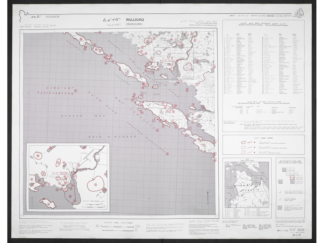
Nunavik: Inuit place name map series
Collection of large maps featuring traditional place names of places, lakes, and rivers Text in Inuktitut (syllabic fonts), English, and French.
Subjects: Atlas, Indigenous peoples, Maps, Northern Quebec, Nunavik
- Type of access
- Printed document
- Free - BAnQ Subscribers
- Domain
- Humanities and Social Sciences
Nunavut Atlas
Atlas depicting land and resource use as claimed by the Inuit as part of the process of the creation of Nunavut. Includes maps on the communities, wildlife, and geographic boundaries of the Inuit world.
Subjects: Borders, Atlas, Indigenous peoples, Inuit, Maps, Nunavut
- Type of access
- Printed document
- Domain
- Humanities and Social Sciences
- Natural Sciences
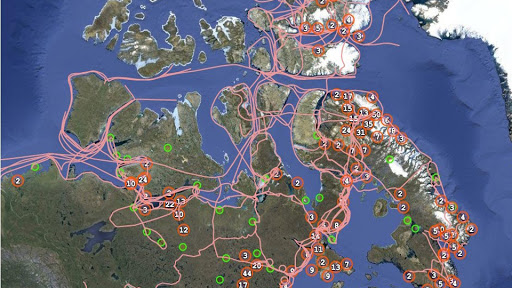
Pan Inuit Trails
Atlas showing Inuit occupancy of the Northwest Passage region, specifically traditional Inuit trails across the Arctic.
Subjects: Indigenous peoples, Inuit, Maps, Northwest Passage, Trails
- Type of access
- Free - Open Access
- Domain
- Humanities and Social Sciences
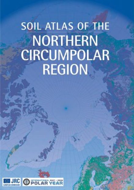
Soil atlas of the Northern circumpolar region
Atlas specializing in soils in the circumpolar North that looks at the composition, their classification and presentation of soils according to local perspectives, as well as how they are being impacted by climate change.
Subjects: Atlas, Climate change, Maps, Soils
- Type of access
- Printed document
- Domain
- Natural Sciences
The Atlas of Canada – Toporama (Gouvernement du Canada)
National, regional, and local topographic maps.
Subjects: Atlas, Maps, Topography, Toponyms
- Type of access
- Free - Open Access
- Domain
- Humanities and Social Sciences
- Natural Sciences

The Danish Arctic Institute digital collections
Four distinct digitized collections available in open access grouped together on the same research platform. There are around 175,000 photographs (fotografier), around fifty old maps (kort), more than 2,000 artefacts (kunst og genstande) as well as 445 audio recordings (lyd). The site is partially translated into English.
Subjects: Artifacts, Greenland, History, Maps, Photographs
- Type of access
- Free - Open Access
- Domain
- Humanities and Social Sciences