Maps, Atlases, and Geospatial Data
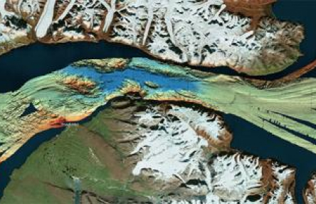
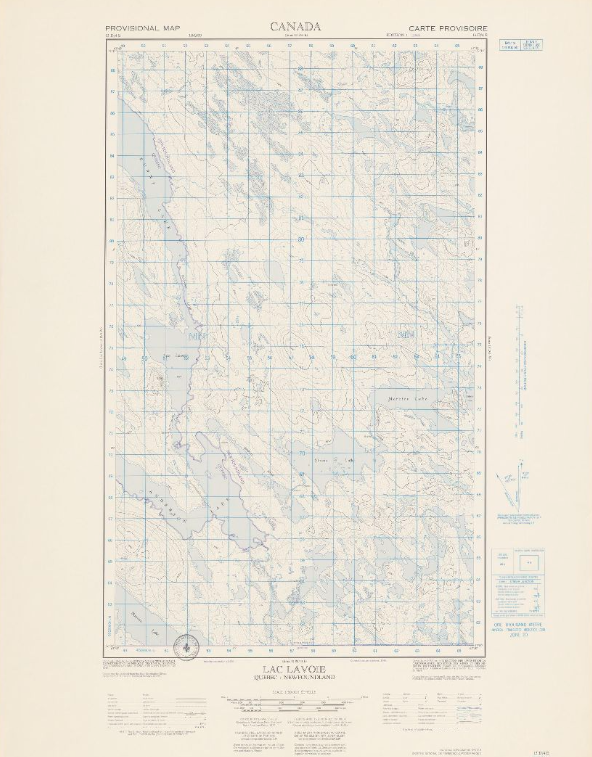
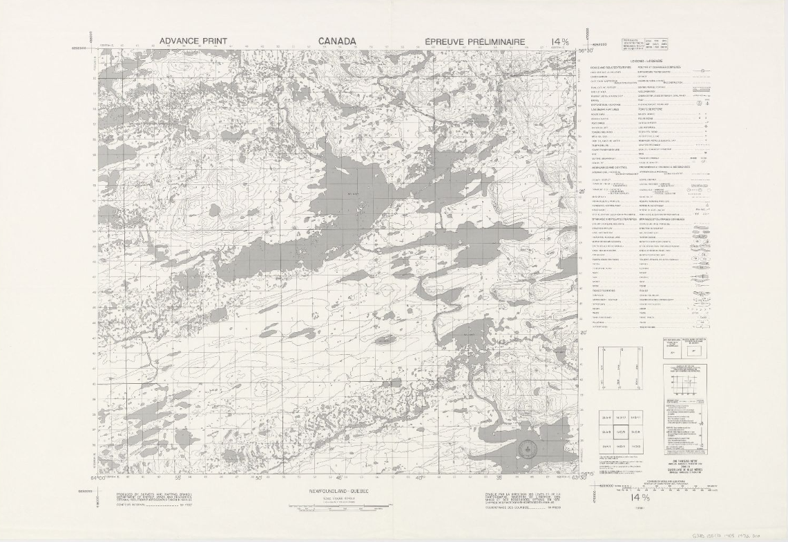
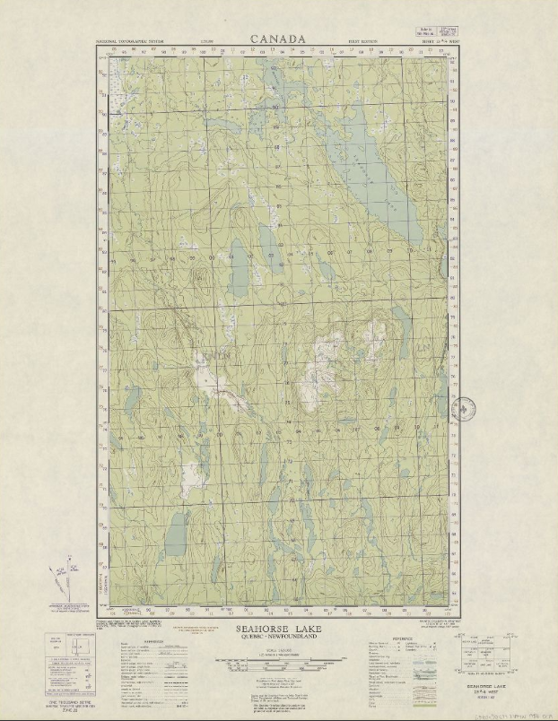
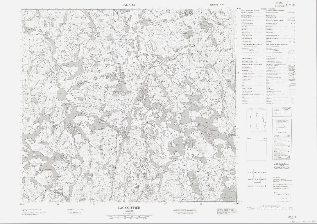
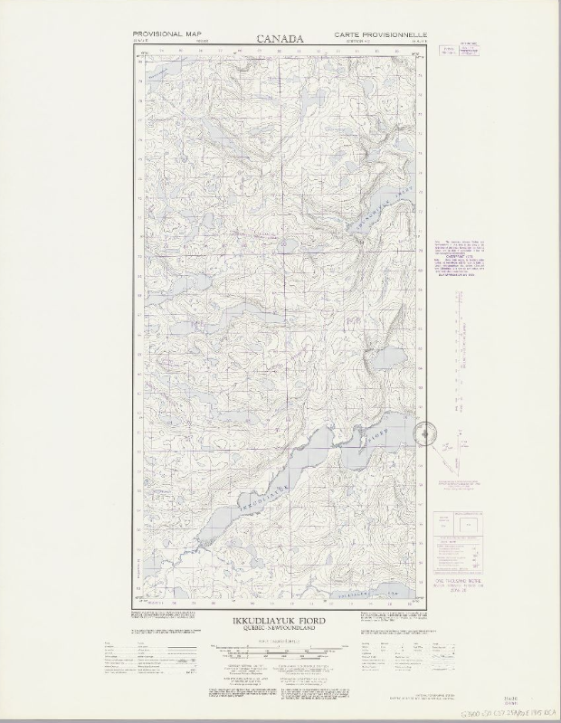
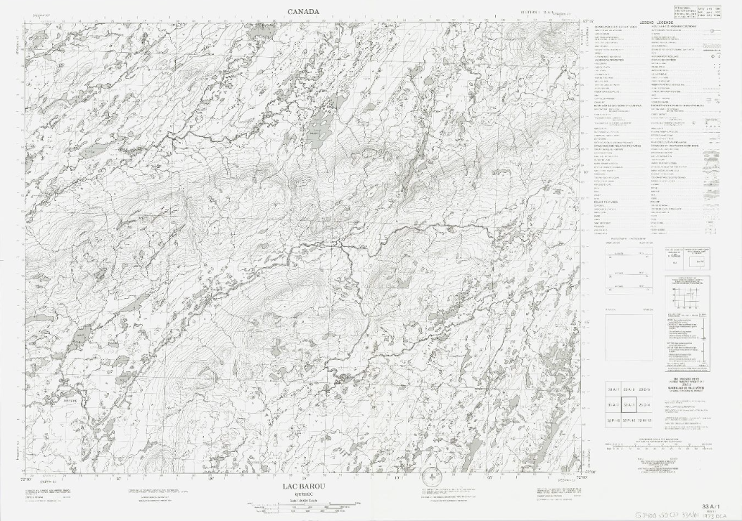
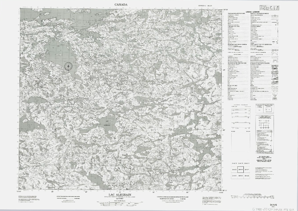
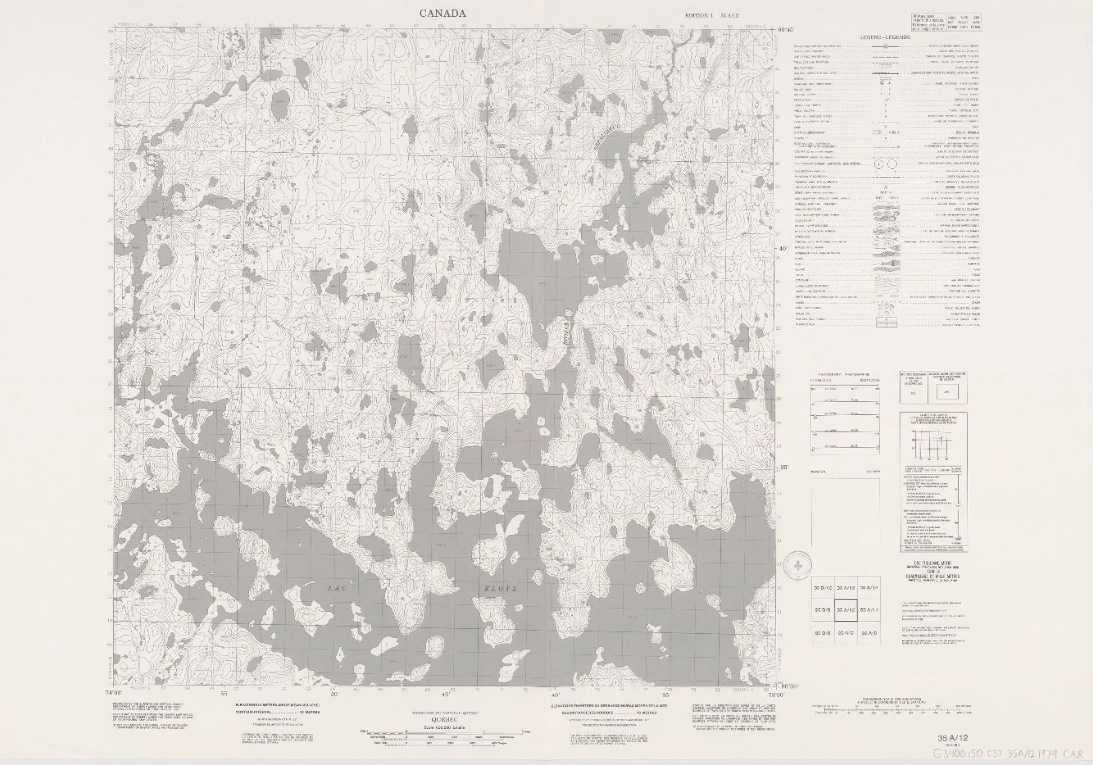
A selection of geographic maps, atlases, and geospatial data recommended for the study of Northern Quebec, Northern Canada, and the circumpolar North.
Some of the documents and data are freely available while others are restricted to members of the universities mentioned (restricted access), and are available under institutional licenses only. Atlases available in print format only are also recommended.
To consult the various categories and subcategories that this collection contains, use the filter Collection.
