Atiku
The Northern and Arctic Studies Portal
Resources
1 to 20 of 21
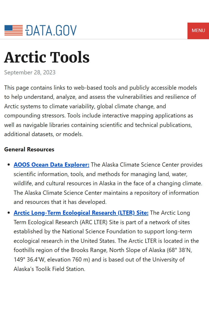
Arctic Tools (U.S Data.Gov)
Page with links to resources, including interactive mapping applications and datasets, to help understand, analyze, and assess the vulnerabilities and resilience of Arctic systems to climate variability and climate change.
Subjects: Cartography, Circumpolar North, Climate change, Climate variability, Geospatial data
Share this resource
To cite
- Type of access
- Free - Open Access
- Domain
- Natural Sciences
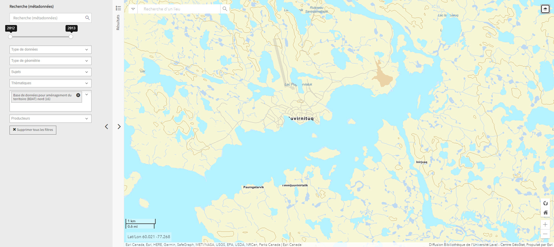
Base de données pour aménagement du territoire (BDAT) nord (Géoindex)
Collection of 22 layers of geospatial data providing an overview of northern land occupancy.
Subjects: Cartography, Geospatial data, Land occupancy, Land use planning, Quebec
Share this resource
To cite
- Type of access
- Reserved Access
- Domain
- Humanities and Social Sciences
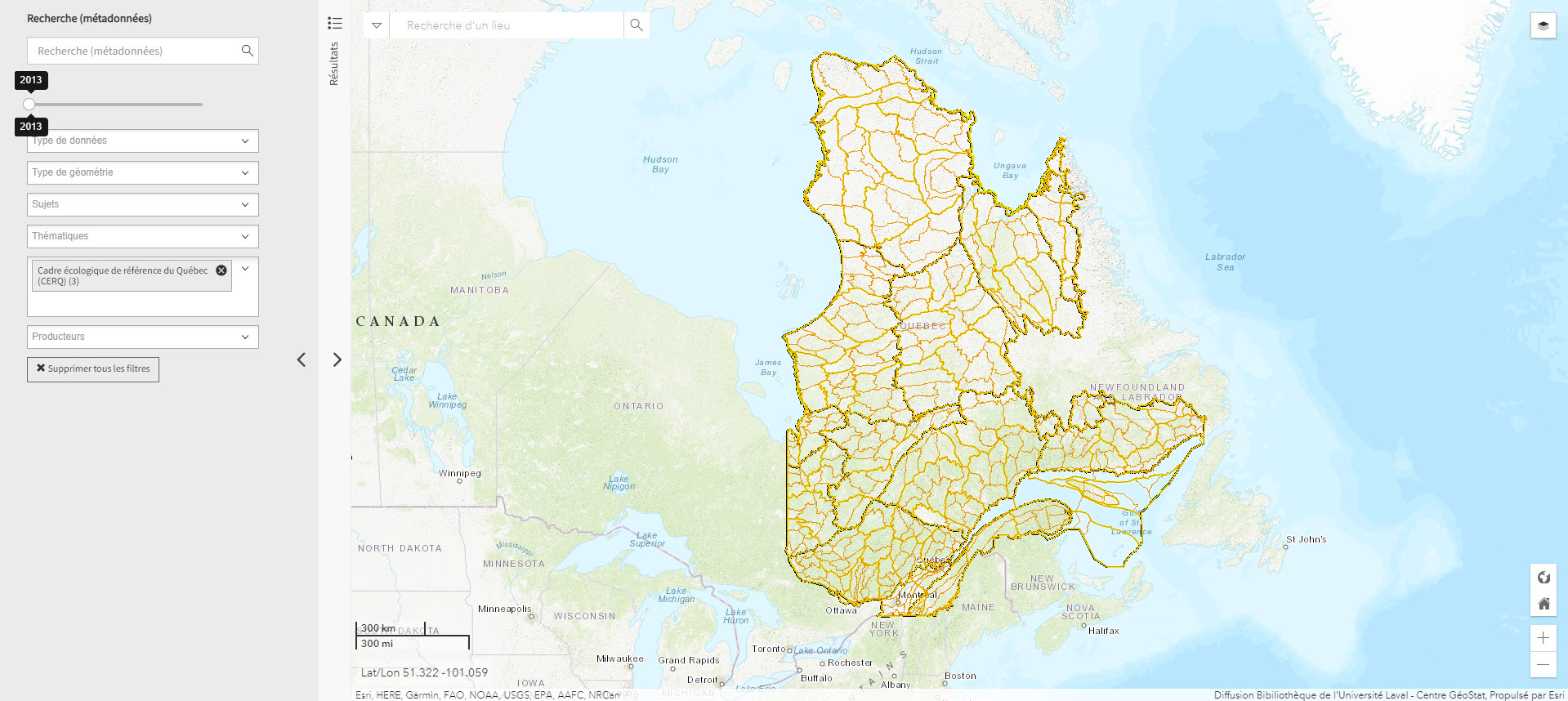
Cadre écologique de référence du Québec (CERQ) (Géoindex)
A collection of 4 layers of geospatial data showing ecological classification of the land and allowing users to assess its potential and constraints, and the fragility of its ecosystems.
Subjects: Cartography, Ecological classification, Geospatial data, Quebec
Share this resource
To cite
- Type of access
- Reserved Access
- Domain
- Natural Sciences
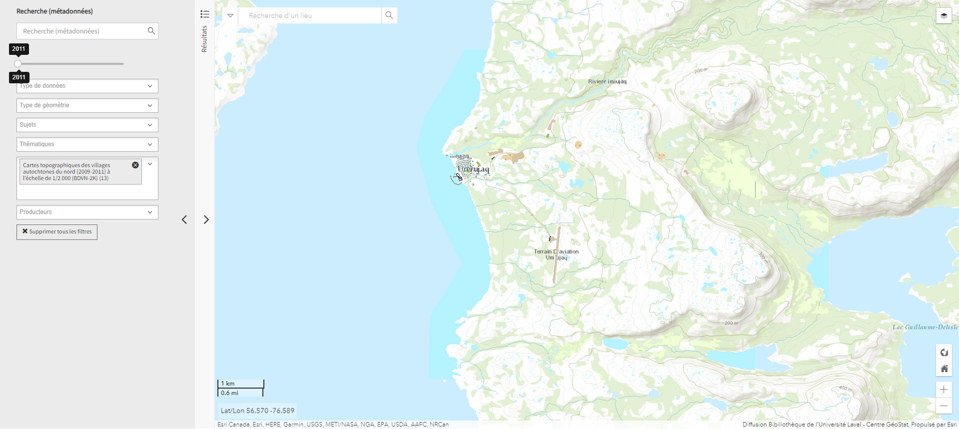
Cartes topographiques des villages autochtones du nord (2009-2011) à l’échelle de 1/2 000 (BDVN-2K) (Géoindex)
A collection of 22 layers of geospatial data comprising a valuable geographic reference tool for organizations working in these regions.
- Type of access
- Reserved Access
- Domain
- Humanities and Social Sciences
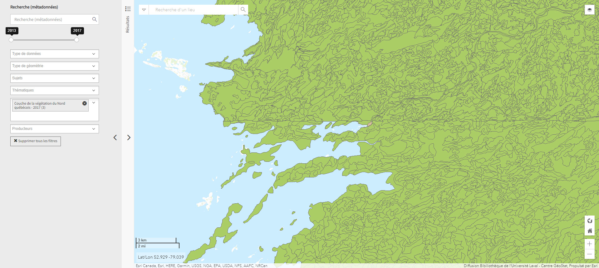
Couche de la végétation du Nord québécois (Géoindex)
A collection of 2 layers of geospatial data illustrating settlements and logging roads between the 53rd and 55th parallels.
Subjects: Forest stands, Forestry roads, Geospatial data, Northern Quebec, Vegetation
Share this resource
To cite
- Type of access
- Reserved Access
- Domain
- Natural Sciences
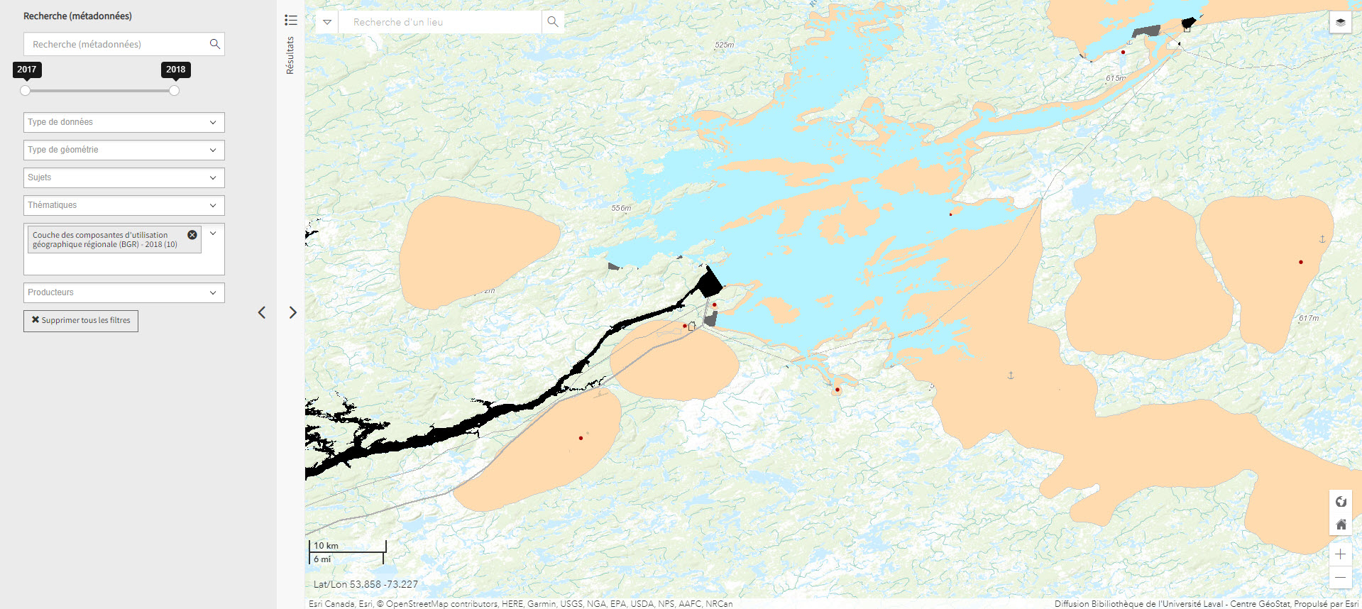
Couche des composantes d’utilisation géographique régionale (BGR) – 2015 (Géoindex)
A collection of 24 layers that show the position and type of elements that make up Quebec’s regional geographic base, including energy facilities, ATV trails, snowshoe trails, wind turbines, etc.
Subjects: Energy equipment, Geospatial data, Regional geographic basis, Wind energy equipment, Quebec
Share this resource
To cite
- Type of access
- Reserved Access
- Domain
- Engineering and Technology
- Humanities and Social Sciences
- Natural Sciences
Current Daily Ice Analysis (U.S. National Ice Center)
Geospatial data on ice in the Arctic and Antarctic.
- Type of access
- Free - Open Access
- Domain
- Natural Sciences
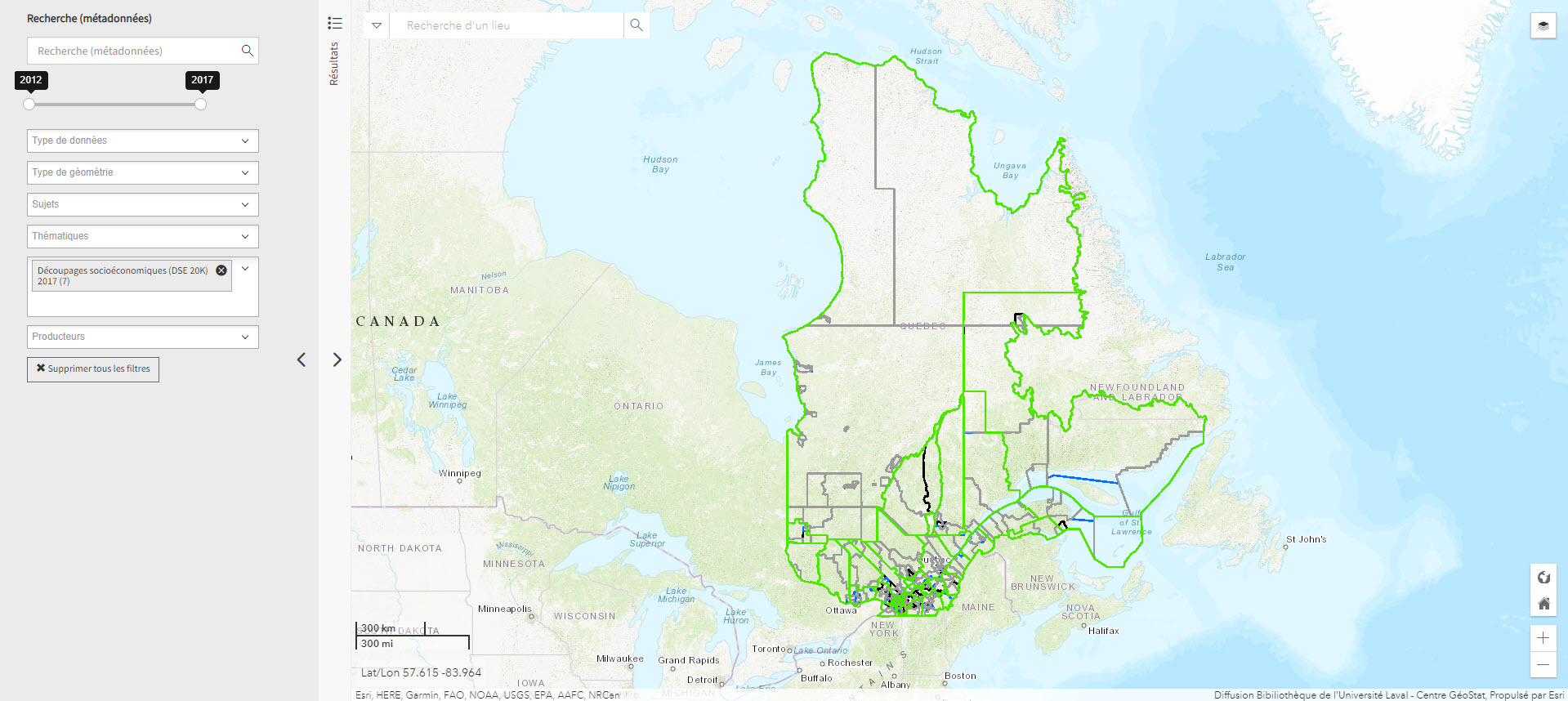
Découpages socio-économiques (DSE 20K) 2017 (Géoindex)
A collection of 7 layers of geospatial data for Quebec representing certain boundaries in the fields of health, elections, education, justice, and land.
- Type of access
- Reserved Access
- Domain
- Humanities and Social Sciences
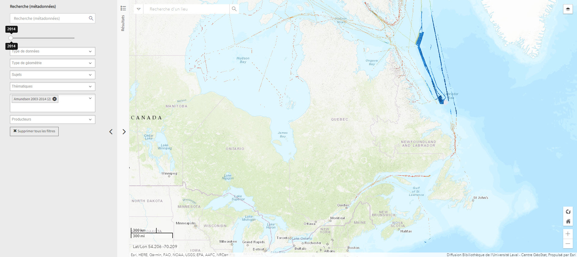
Données bathymétriques du NGCC Amundsen 2003-2014 (Géoindex)
Layer representing bathymetry data collected by the CCGS Amundsen and other scientific vessels between 2003 and 2014. Each tile covers 30 minutes longitude by 15 minutes latitude.
Subjects: Bathymetric data, Bathymetry, Canadian arctic, Geospatial data, NGCC Amundsen
Share this resource
To cite
- Type of access
- Reserved Access
- Domain
- Natural Sciences

Données Québec – Environnement, ressources naturelles et énergie (Gouvernement du Québec)
Selection of geospatial data from Quebec’s Department of Energy and Natural Resources.
Subjects: Cartography, Energy, Geospatial data, Quebec, Natural Resources
Share this resource
To cite
- Type of access
- Free - Open Access
- Domain
- Engineering and Technology
- Natural Sciences
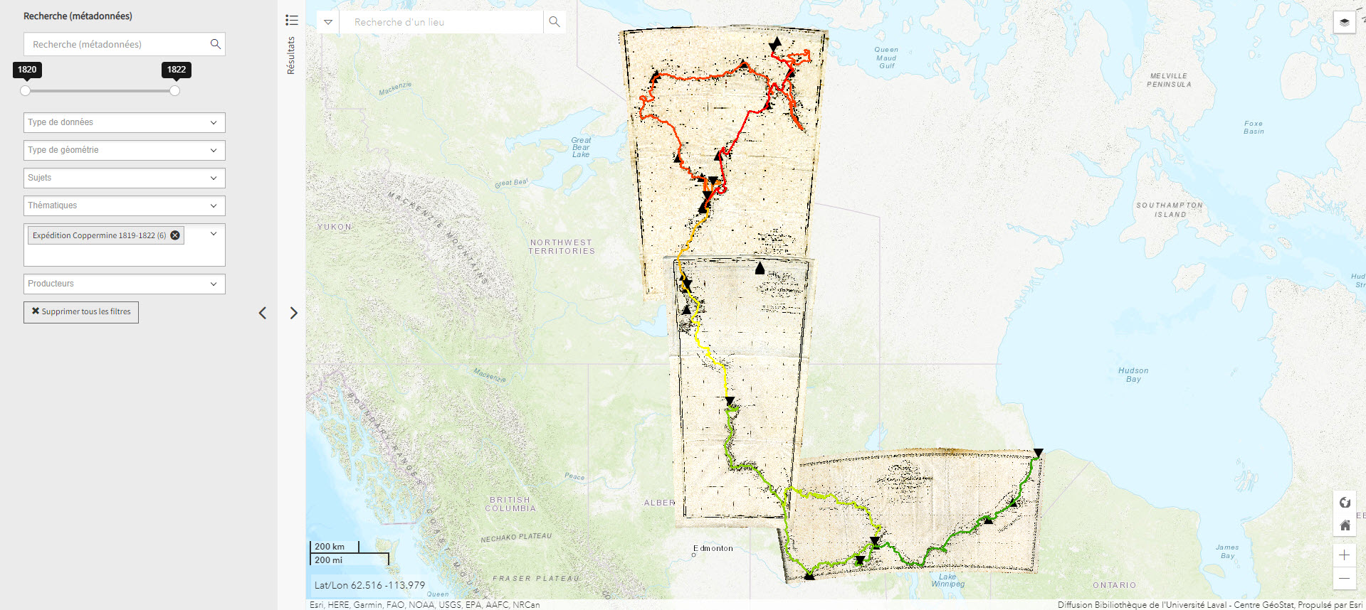
Expédition Coppermine (1819-1822) (Géoindex)
This collection of 6 layers of geospatial data is a spatial and historical reference tool on the Coppermine expedition headed by British explorer John Franklin between 1819 and 1822. An educational and research tool for the polar regions.
Subjects: Geospatial data, John Franklin, Coppermine expedition, Cartography, Exploration
Share this resource
To cite
- Type of access
- Reserved Access
- Domain
- Humanities and Social Sciences
- Natural Sciences
Géogratis – Index des produits géospatiaux
Access to the most common federal geospatial data for Canada, including the Arctic.
- Type of access
- Free - Open Access
- Domain
- Humanities and Social Sciences
- Natural Sciences
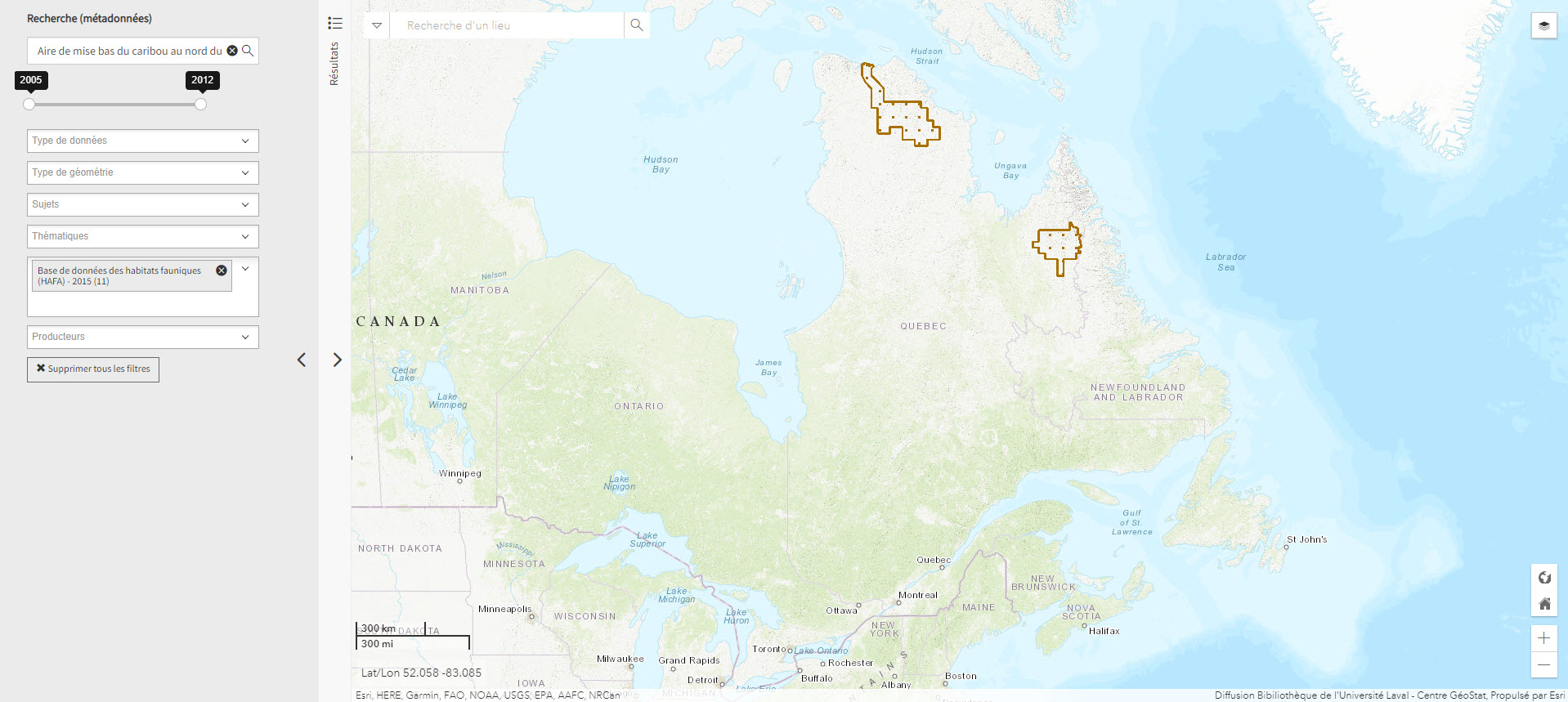
Mise bas du caribou (Géoindex)
This layer shows the location of caribou calving grounds north of the 52nd parallel.
- Type of access
- Reserved Access
- Domain
- Natural Sciences
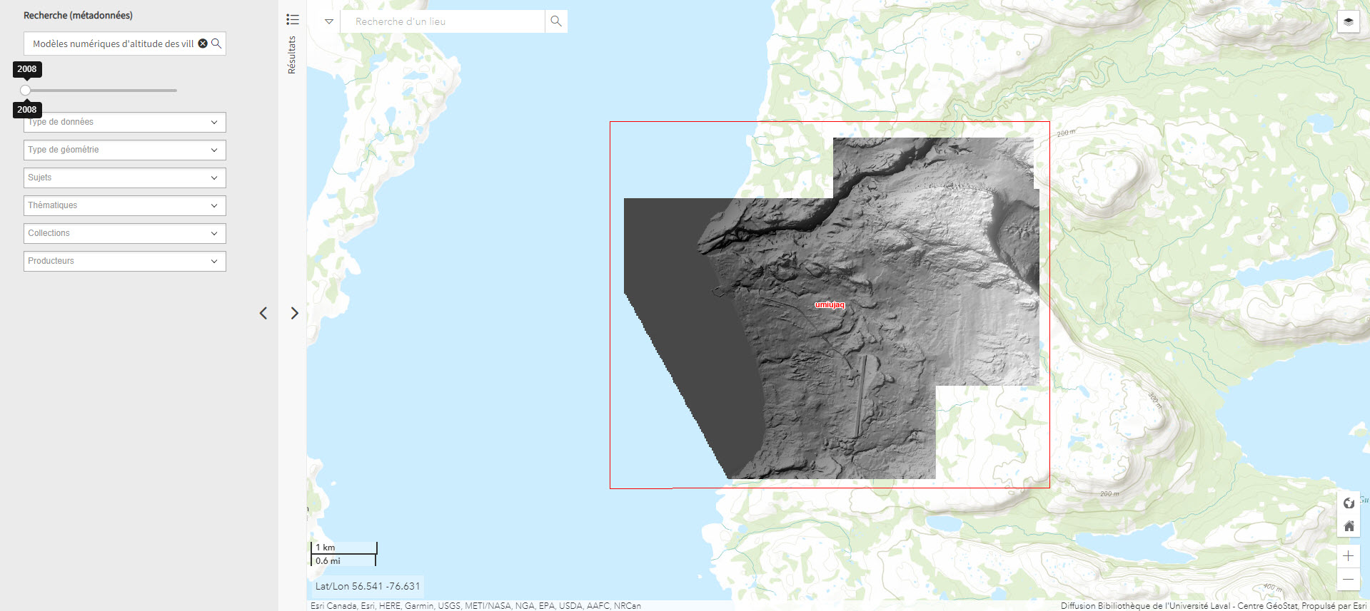
Modèles numériques d’altitude des villages nordiques à l’échelle 1/2 000 (Géoindex)
Includes digital elevation models covering Inuit villages located north of the 55th parallel. The documents in this series are digital elevation matrices accurate to within one metre.
Subjects: Digital elevation model, Geospatial data, Indigenous peoples, Inuit, Villages
Share this resource
To cite
- Type of access
- Reserved Access
- Domain
- Humanities and Social Sciences
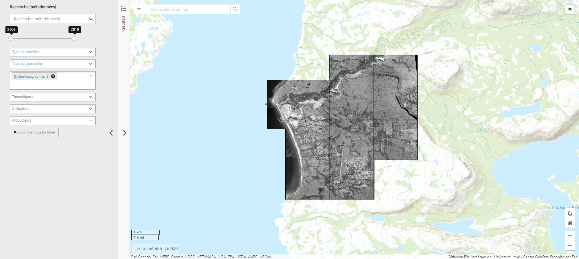
Orthophotographie noir et blanc des villages nordiques 1/10 000 (2004) (Géoindex)
Set of 161 digital orthophotos representing northern villages (1:10,000).
- Type of access
- Reserved Access
- Domain
- Humanities and Social Sciences
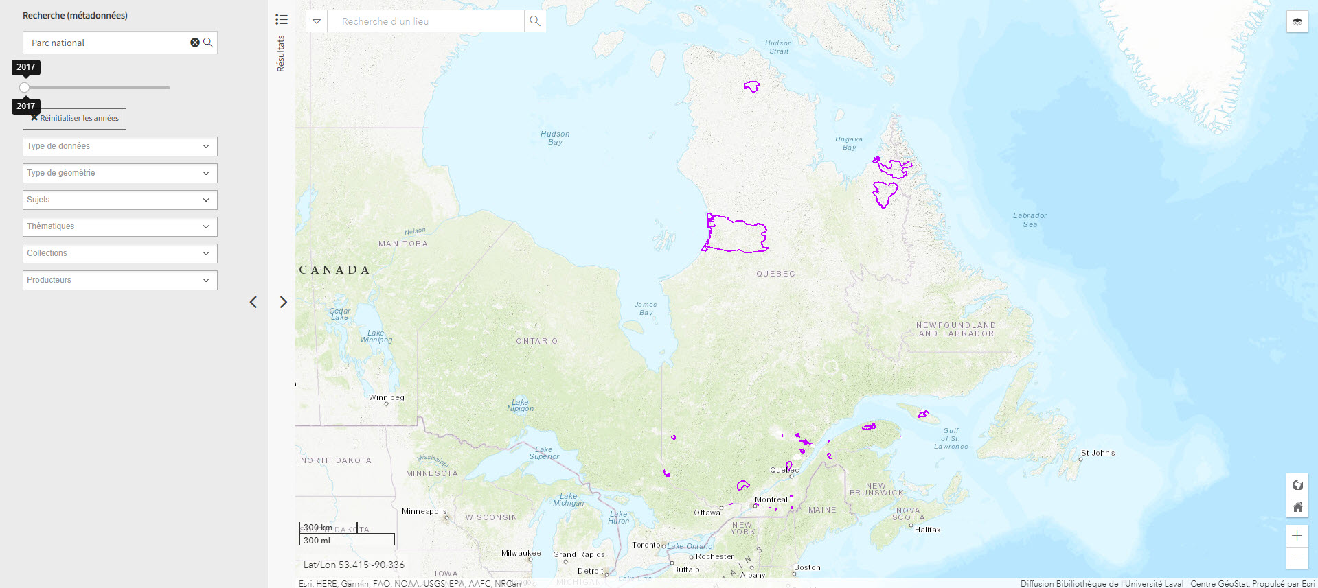
Parc national du Québec (Géoindex)
Layer of geospatial data representing Quebec’s provincial parks in the form of polygons, scale 1:100,000.
- Type of access
- Reserved Access
- Domain
- Natural Sciences

Polar data catalogue
A catalogue of metadata and polar data, including geospatial data, that describes and provides access to data generated by Arctic and Antarctic researchers.
Subjects: Cartography, Circumpolar North, Geospatial data, Metadata, Research
Share this resource
To cite
- Type of access
- Free - Reference only
- Free - Open Access
- Domain
- Engineering and Technology
- Health Sciences
- Humanities and Social Sciences
- Natural Sciences

Portail des données ouvertes – Arctique canadien (Gouvernement du Canada)
A selection of geographic maps of the Canadian North covering various topics.
- Type of access
- Free - Open Access
- Domain
- Engineering and Technology
- Humanities and Social Sciences
- Natural Sciences
The North Data
A selection of geospatial data from Natural Resources Canada on geology, ice, snow, the seabed, etc.
- Type of access
- Free - Open Access
- Domain
- Natural Sciences

The North Data (Gouvernement du Canada)
A selection of geospatial data from Natural Resources Canada on geology, ice, snow, the seabed, etc.
- Type of access
- Free - Open Access
- Domain
- Humanities and Social Sciences