Atiku
The Northern and Arctic Studies Portal
Resources
1 to 14 of 14
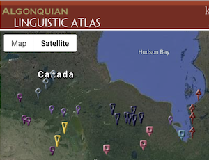
Algonquian Linguistics Atlas
Interactive map of Canada’s Algonquian languages, many of which are spoken in northern Indigenous communities.
- Type of access
- Free - Open Access
- Domain
- Humanities and Social Sciences

Atlas climatique des glaces de mer pour les eaux du Nord canadien, 1981 à 2010
Atlas showing average and maximum statistics for ice coverage in the Canadian Arctic and Hudson Bay.
- Type of access
- Free - Open Access
- Domain
- Natural Sciences
Atlas climatiques des glaces sur 30 ans
Atlas produced by the Canadian Ice Service, which provides the location of ice during the ice season, its coverage, thickness, and variability, for the period from 1981 to 2010. Features three volumes, including one on Northern Canadian waters and another on the East Coast.
- Type of access
- Free - Open Access
- Domain
- Natural Sciences
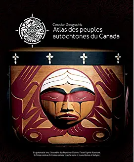
Atlas des peuples autochtones du Canada
Four-volume atlas presenting information on Indigenous communities, languages, education, treaties and territories, as well as residential schools, colonialism, racism and cultural appropriation. (Ottawa, Société géographique royale du Canada, 2018, 4 vol. )
Subjects: Atlas, Colonialism, Indian residential schools, Indigenous communities, Indigenous peoples, Inuit
Share this resource
To cite
- Type of access
- Free - Open Access
- Domain
- Humanities and Social Sciences
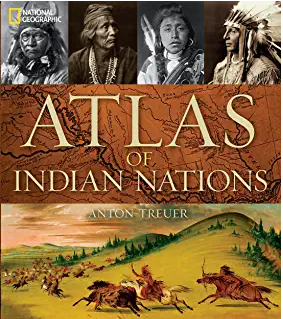
Atlas of Indian nations
Atlas with rich iconographic, cartographic, and textual content presenting the various nations of North America according to a wide range of themes. Includes relevant content about the First Peoples of the North and the Arctic. (Washington, National Geographic Society, 2013, 219 p.)
- Type of access
- Printed document
- Reserved Access
- Domain
- Humanities and Social Sciences
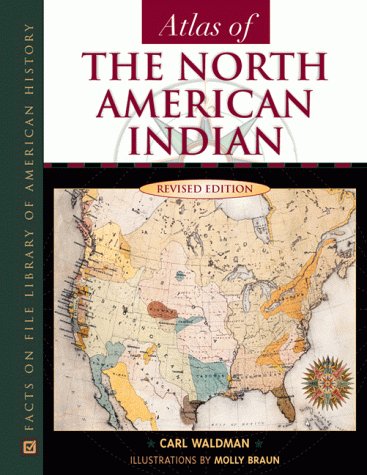
Atlas of the North American Indian
Atlas with a focus on the history, migrations, conflicts, lifestyles, and location of Indigenous Peoples in North America. Content related to Northern Canada and Alaska.
- Type of access
- Printed document
- Domain
- Humanities and Social Sciences

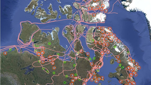
Cartes du Nord (Gouvernement du Canada)
Selection of Natural Resources Canada maps on coastal areas, ice, snow, permafrost, and more.
- Type of access
- Free - Open Access
- Domain
- Natural Sciences
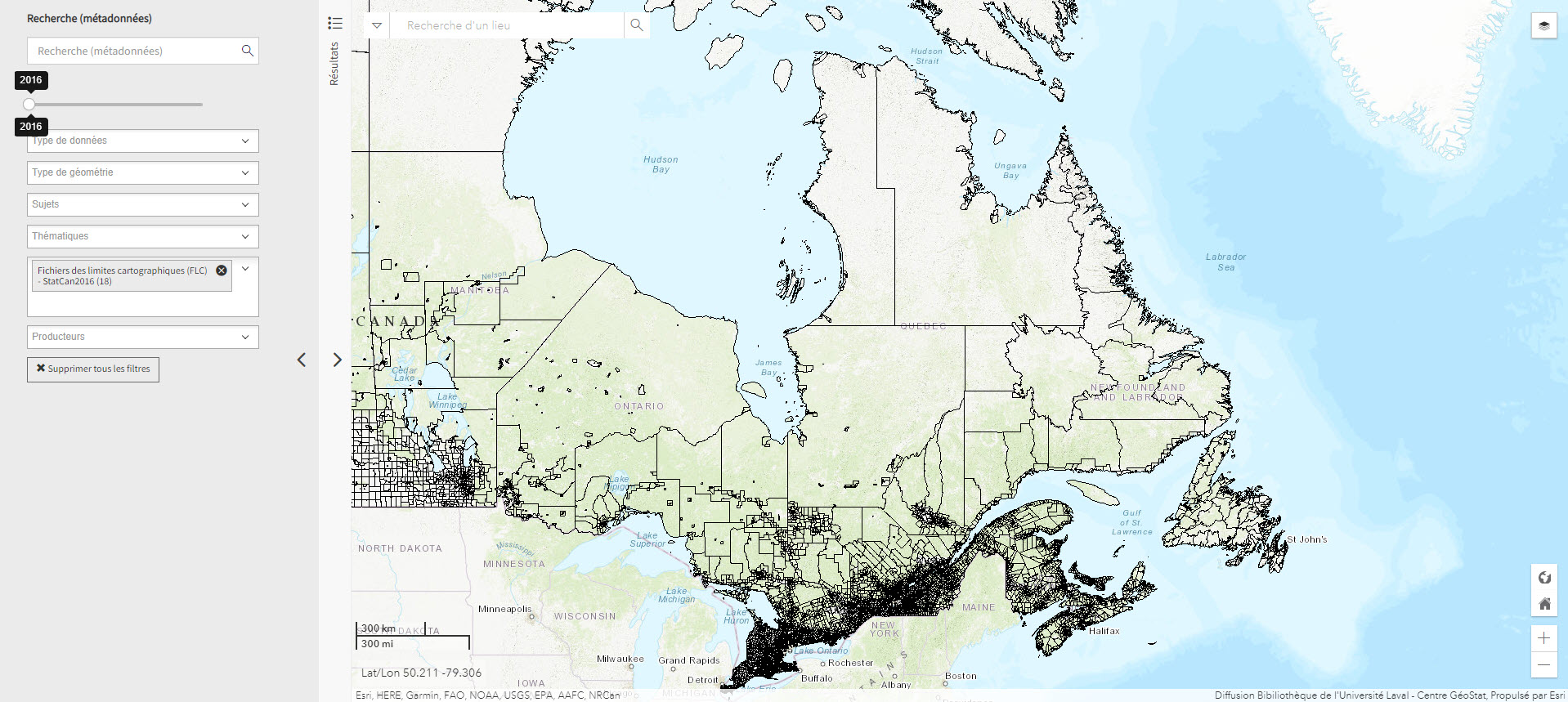
Fichier de limites cartographique de Statistiques Canada (2016) (Géoindex)
A collection of 13 layers of geospatial data representing the boundaries of census data release units by Statistics Canada. When used in conjunction with census data, these files are useful for thematic mapping.
- Type of access
- Reserved Access
- Domain
- Humanities and Social Sciences
First Nation Profile Interactive Map (Gouvernement du Canada)
Map of Indigenous communities in Canada, with access to information about them.
- Type of access
- Free - Open Access
- Domain
- Humanities and Social Sciences
Inuit Nunangat (Government of Canada) (Gouvernement du Canada)
Map of 53 Inuit communities in Northern Canada.
- Type of access
- Free - Open Access
- Domain
- Humanities and Social Sciences
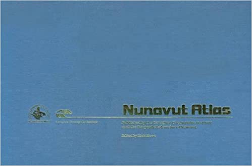
Nunavut Atlas
Atlas depicting land and resource use as claimed by the Inuit as part of the process of the creation of Nunavut. Includes maps on the communities, wildlife, and geographic boundaries of the Inuit world.
- Type of access
- Printed document
- Domain
- Humanities and Social Sciences
- Natural Sciences
Pan Inuit Trails
Atlas showing Inuit occupancy of the Northwest Passage region, specifically traditional Inuit trails across the Arctic.
- Type of access
- Free - Open Access
- Domain
- Humanities and Social Sciences
The Atlas of Canada – Toporama (Gouvernement du Canada)
National, regional, and local topographic maps.
- Collection
- Type of access
- Free - Open Access
- Domain
- Humanities and Social Sciences
- Natural Sciences
The North Data
A selection of geospatial data from Natural Resources Canada on geology, ice, snow, the seabed, etc.
- Type of access
- Free - Open Access
- Domain
- Natural Sciences