Atiku
The Northern and Arctic Studies Portal
Resources
1 to 18 of 18
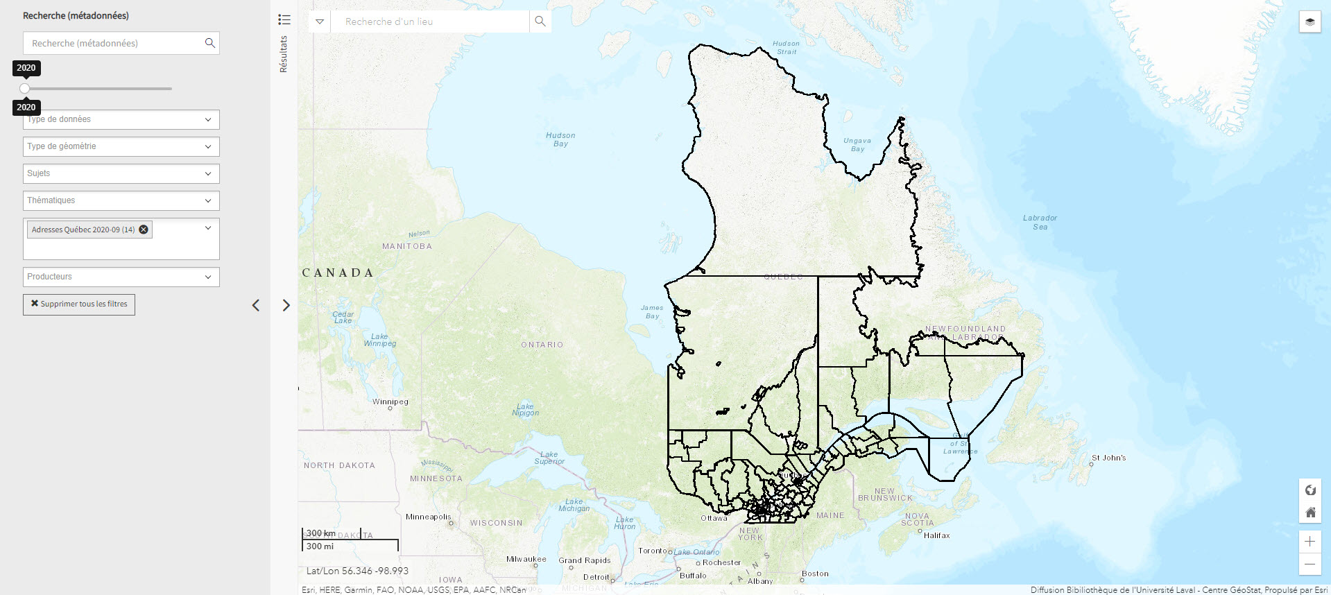
Adresse Québec (Géoindex)
Collection of 8 layers of geospatial data illustrating roads, addresses, and postal codes.
- Type of access
- Reserved Access
- Domain
Atlas des activités des chasseurs et piégeurs cris de Eeyou Istchee (Réseau DIALOG)
Interactive map of the activities of hunters and trappers in nine Cree communities in Eeyou Istchee (James Bay region) produced using annual statistical data (1977 to 2011) from the Cree Hunters and Trappers Income Security Board.
- Type of access
- Free - Open Access
- Domain
- Humanities and Social Sciences
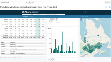
Atlas of Registered Aboriginal Population of Quebec (Réseau DIALOG)
Interactive map of statistical data on the registered Indian population in Quebec from 1998 to 2010, on-reserve and off-reserve.
Subjects: Atlas, Demographic statistics, Indigenous peoples, Maps, Population
Share this resource
To cite
- Type of access
- Free - Open Access
- Domain
- Humanities and Social Sciences
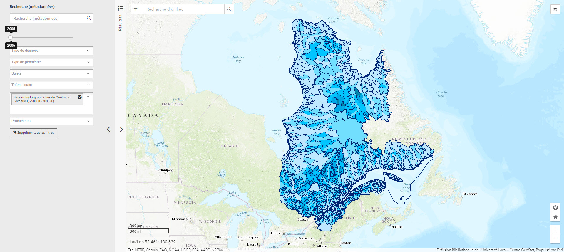
Bassins hydrographiques du Québec à l’échelle 1/250000 (Géoindex)
A collection of 7 layers of geospatial data showing Quebec’s watersheds.
Subjects: Cartography, Geospatial data, Watershed area, Watersheds, Quebec
Share this resource
To cite
- Type of access
- Reserved Access
- Domain
- Natural Sciences
GéoInfo – Territoire nordique (Gouvernement du Québec)
Compilation of data on Northern Quebec, some of which is freely accessible.
- Type of access
- Free - Reference only
- Free - Open Access
- Domain
- Humanities and Social Sciences
- Natural Sciences
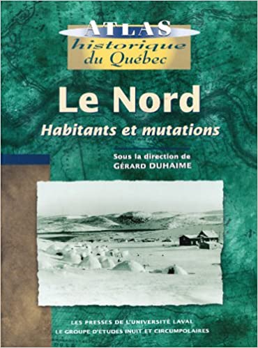
Le Nord : habitants et mutations
Historical atlas with rich textual content about the inhabitants of the North (people of the North Shore, Innu, Cree, Naskapi, and Inuit), exploration of the territory, and its maps, as well as industrialization of the region.
- Type of access
- Printed document
- Reserved Access
- Domain
- Humanities and Social Sciences
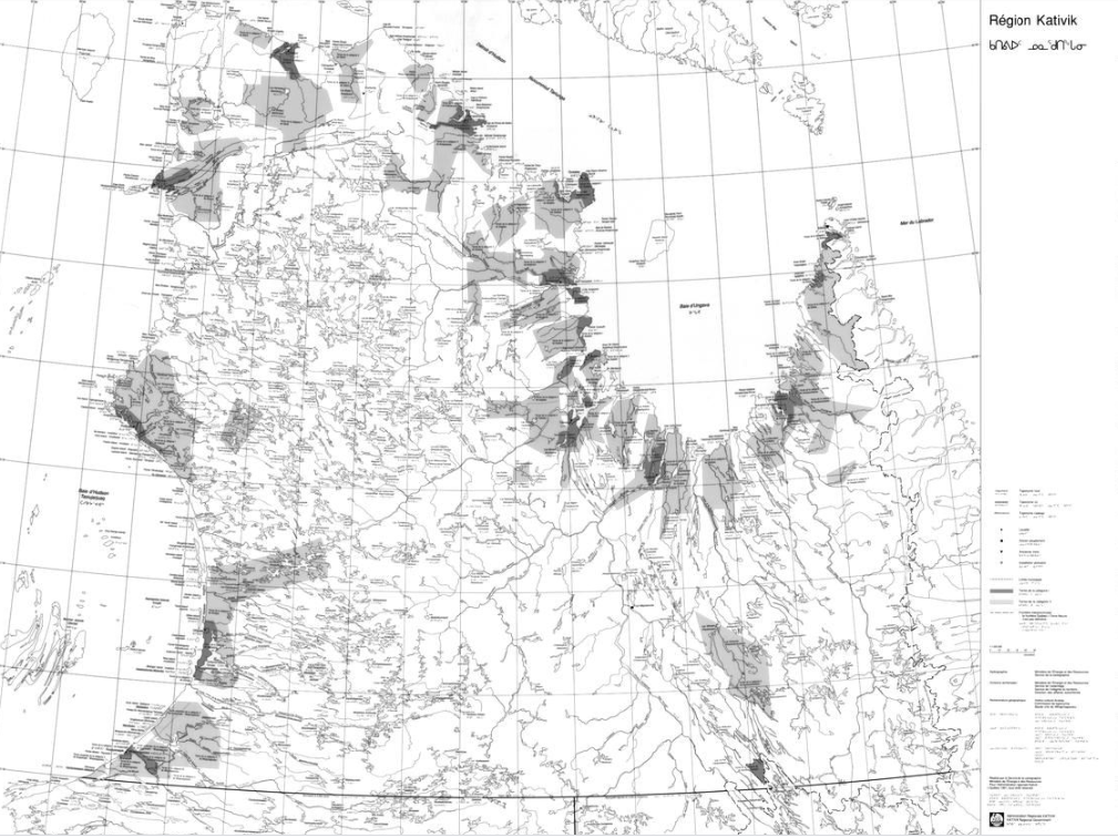
Map of the Kativik region (BAnQ)
Geographic map (scale 1: 1,000,000) of the Kativik region illustrating, among other things, the ancient settlements with Inuit, Cree and Naskapi toponyms.
- Type of access
- Free - Open Access
- Domain
- Humanities and Social Sciences
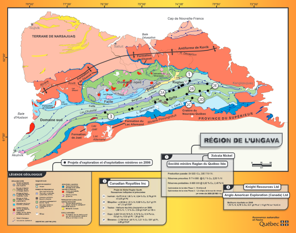
Maps of mining activity in the James Bay and Ungava regions (BAnQ)
Group of geographical maps that compile information relating to mining activity in the James Bay and Ungava regions.
- Type of access
- Free - Open Access
- Domain
- Natural Sciences
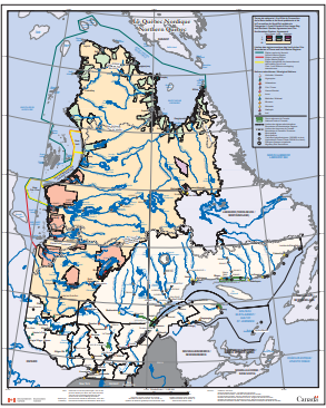
Northern Quebec (Environment Canada) (Environnement Canada)
Map depicting Indigenous lands, nations, and marine regions, as well as administrative regions, municipalities, and hydroelectric power plants.
- Type of access
- Free - Open Access
- Domain
- Humanities and Social Sciences

Nunavik: Inuit place name map series
Collection of large maps featuring traditional place names of places, lakes, and rivers Text in Inuktitut (syllabic fonts), English, and French.
- Type of access
- Printed document
- Free - BAnQ Subscribers
- Domain
- Humanities and Social Sciences
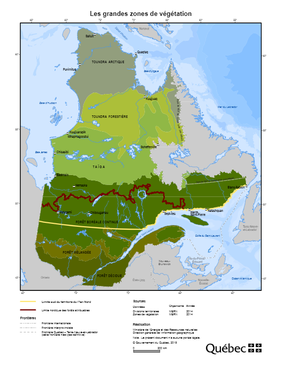
Plan Nord maps (BAnQ)
Collection of geographic and thematic maps (actives mines and mining projects, electricity generation, wildlife areas, vegetation zones, aboriginal communities, etc.) from the Plan Nord program, dedicated to the sustainable development and the enhancement of the resources of northern Quebec.
Subjects: Arctic fauna, Energy, Indigenous communities, Mine exploration, Mining, Mines, Vegetation
Share this resource
To cite
- Type of access
- Free - Open Access
- Domain
- Engineering and Technology
- Humanities and Social Sciences
- Natural Sciences
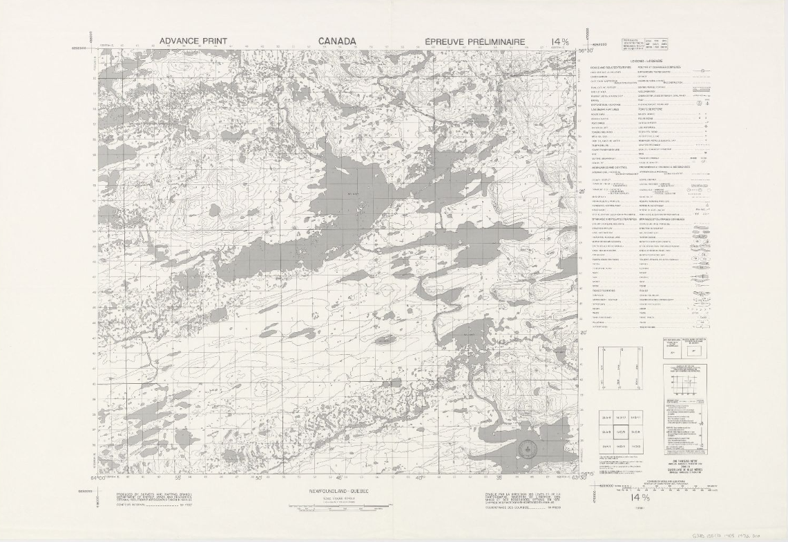
Topographic maps (NTS 14: Nord-du-Québec)
Corpus of topographic maps of Nord-du-Québec at a scale of 1: 50,000. The first-level NTS number representing the geographic area concerned is 14.
- Type of access
- Free - Open Access
- Domain
- Natural Sciences
Topographic maps (NTS 23: Côte-Nord)
Corpus of topographic maps of Nord-du-Québec at a scale of 1: 50,000. The NTS number representing the geographic area concerned is 23.
- Type of access
- Free - Open Access
- Domain
- Natural Sciences
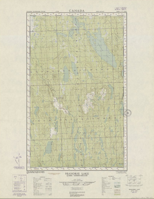
Topographic maps (NTS 24: Nord-du-Québec)
Corpus of topographic maps of Nord-du-Québec at a scale of 1: 50,000. The NTS number representing the geographic area concerned is 24.
- Type of access
- Free - Open Access
- Domain
- Natural Sciences
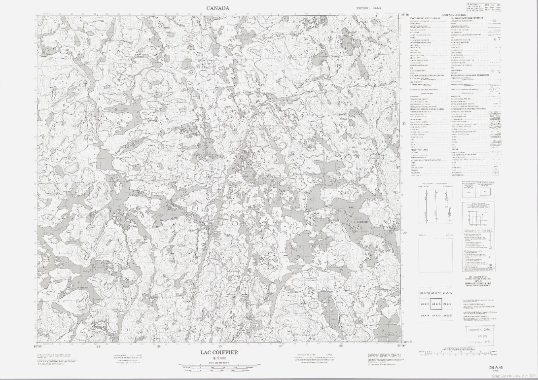
Topographic maps (NTS 25: Nord-du-Québec)
Corpus of topographic maps of Nord-du-Québec at a scale of 1: 50,000. The NTS number representing the geographic area concerned is 25.
- Type of access
- Free - Open Access
- Domain
- Natural Sciences
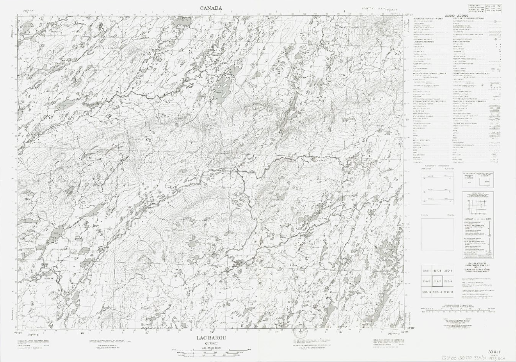
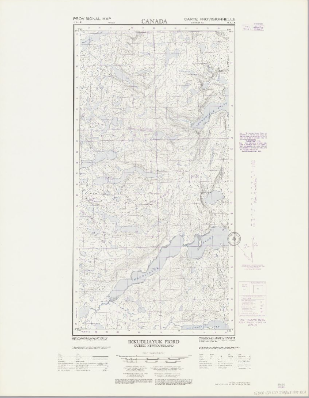
Topographic maps (NTS 33: Nord-du-Québec)
Corpus of topographic maps of Nord-du-Québec at the scale of 1: 50,000. The NTS number representing the geographic area concerned is 33.
- Type of access
- Free - Open Access
- Domain
- Natural Sciences
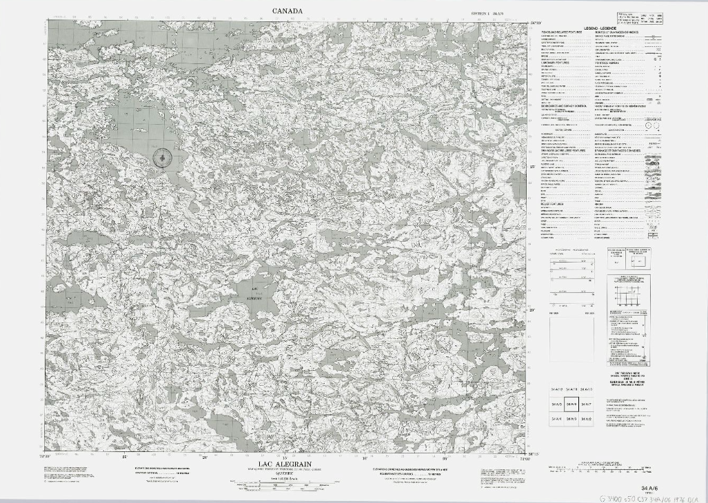
Topographic maps (NTS 34: Nord-du-Québec)
Corpus of topographic maps of Nord-du-Québec at the scale of 1: 50,000. The NTS number representing the geographic area concerned is 34.
- Type of access
- Free - Open Access
- Domain
- Natural Sciences
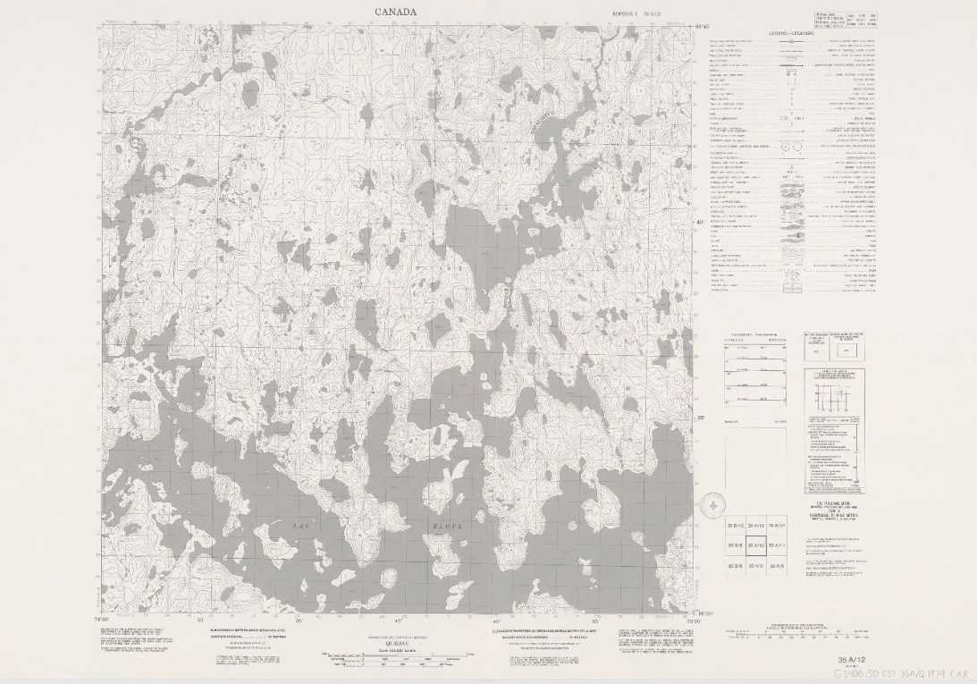
Topographic maps (NTS 35: Nord-du-Québec)
Corpus of topographic maps of Nord-du-Québec at the scale of 1: 50,000. The NTS number representing the geographic area concerned is 35.
- Type of access
- Free - Open Access
- Domain
- Natural Sciences