Atiku
The Northern and Arctic Studies Portal
Resources
1 to 7 of 7
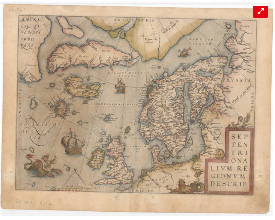
Cartes anciennes de l’Arctique (Université Laval)
Collection of the University Laval’s Library consisting of some twenty maps dating from the 16th to the 20th century. These documents are the work of famous cartographers such as Gerardus Mercator, Jan Jansson, Guillaume de L’Isle and Willem Blaeu, but also of explorers like Captain Joseph-Elzéar Bernier.
- Type of access
- Free - Open Access
- Domain
- Humanities and Social Sciences
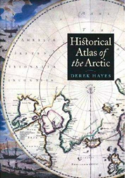
Historical atlas of the Arctic
An atlas presenting five centuries of polar exploration and mapping, from the first-ever print map of the region (Mercator, 1595) to contemporary mapping of the ocean depths using multibeam bathymetry.
- Type of access
- Printed document
- Domain
- Humanities and Social Sciences
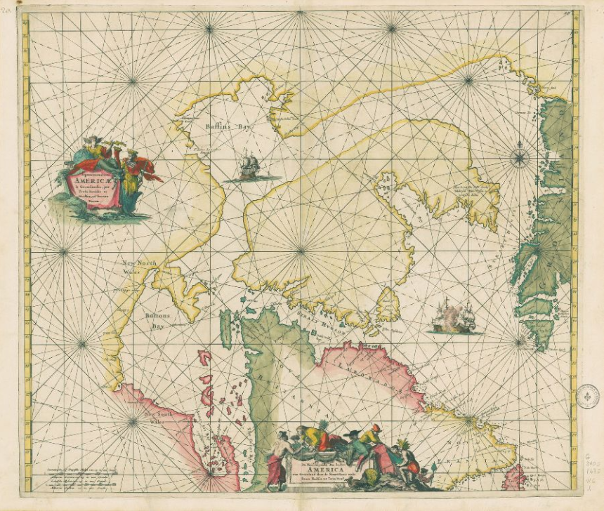
Historical maps: Arctic (BAnQ)
Corpus of fifteen old maps dating from the 17th to the 20th century. These documents bear witness to the Arctic expeditions and explorations carried out by several generations of European explorers in search of the Northwest Passage. These documents reflect the advancement of knowledge of the Arctic coastline of North America. The information on these maps is based among other things on the discoveries of Martin Frobisher, William Baffin, etc.
Subjects: Arctic archipelago, Baffin bay, Canadian arctic, Cartography, Circumpolar Arctic, Davis Strait, Greenland, Hudson Strait, Maps, Northwest Passage
Share this resource
To cite
- Type of access
- Free - Open Access
- Domain
- Humanities and Social Sciences
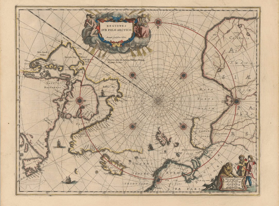
Historical maps: Circumpolar North (BAnQ)
Corpus of ancient maps of various kinds that represent the greater circumpolar region.
- Type of access
- Free - Open Access
- Domain
- Humanities and Social Sciences
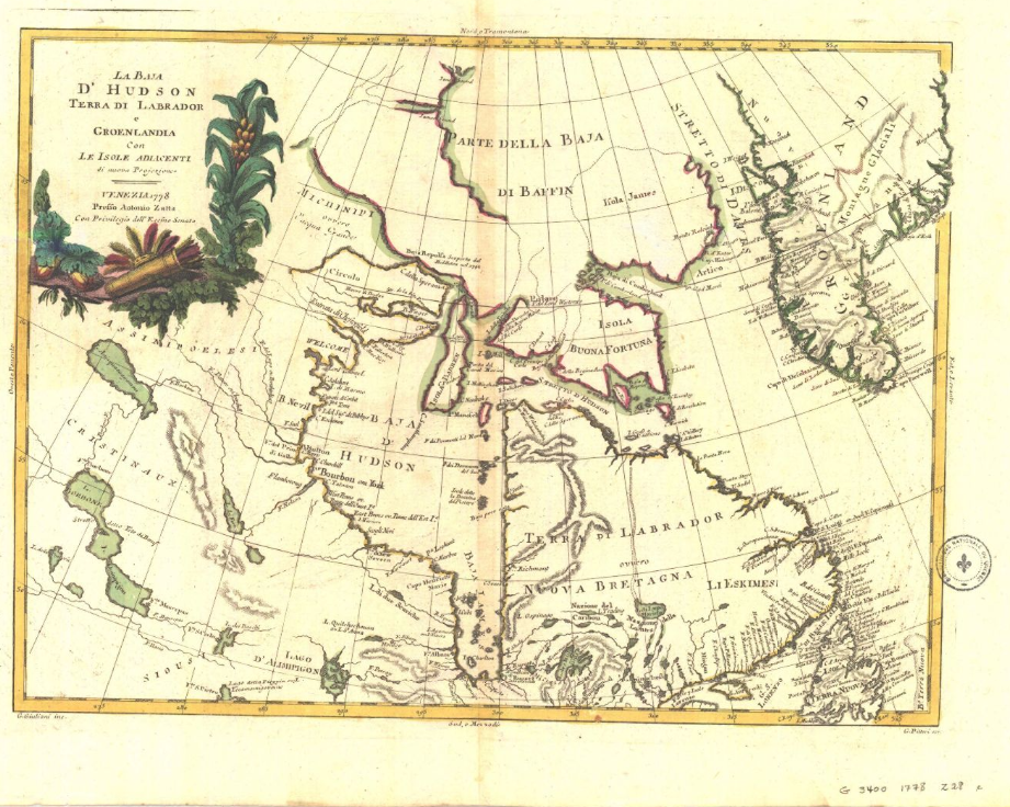
Historical maps: Hudson’s Bay (BAnQ)
Corpus of historical maps dating from the 17th and 18th century and allowing to visualize the territorial evolution of Hudson Bay. Their representation of Hudson’s Bay is inspired, among other things, by the explorations of Henry Hudson and Thomas James. These maps relate the French and English expeditions to this much coveted territory because of its strategic positioning for the fur trade in Europe.
Subjects: Cartography, Hudson Bay, Hudson’s Bay Company, Maps, New France
Share this resource
To cite
- Type of access
- Free - Open Access
- Domain
- Humanities and Social Sciences
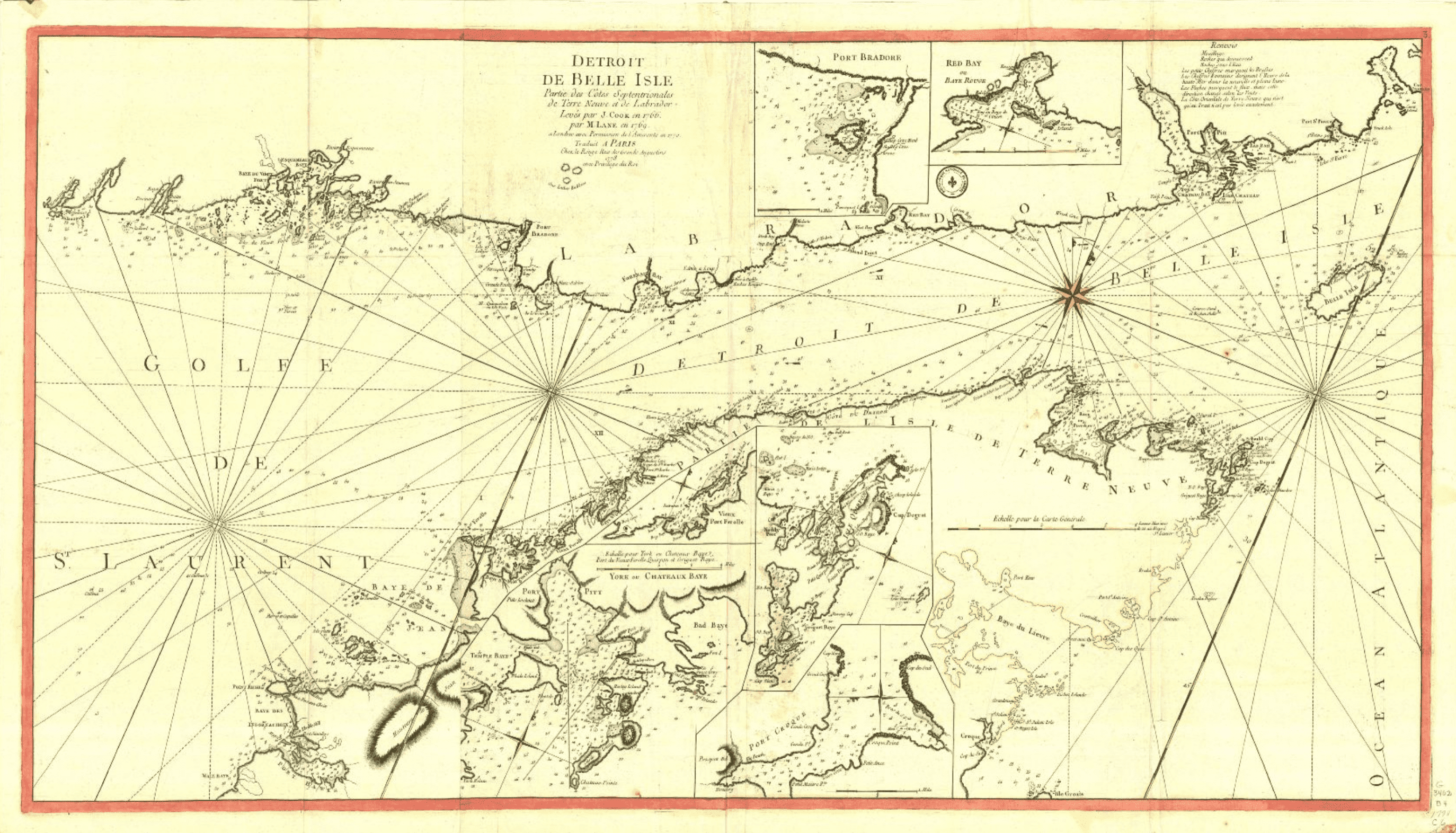
Historical maps: Strait of Belle Isle (BAnQ)
Corpus of ancient maps of the Strait of Belle Isle, including parts of the coasts of Newfoundland and Labrador.
- Type of access
- Free - Open Access
- Domain
- Humanities and Social Sciences
The Danish Arctic Institute digital collections
Four distinct digitized collections available in open access grouped together on the same research platform. There are around 175,000 photographs (fotografier), around fifty old maps (kort), more than 2,000 artefacts (kunst og genstande) as well as 445 audio recordings (lyd). The site is partially translated into English.
- Type of access
- Free - Open Access
- Domain
- Humanities and Social Sciences