Atiku
The Northern and Arctic Studies Portal
Search results
1 to 17 to 17
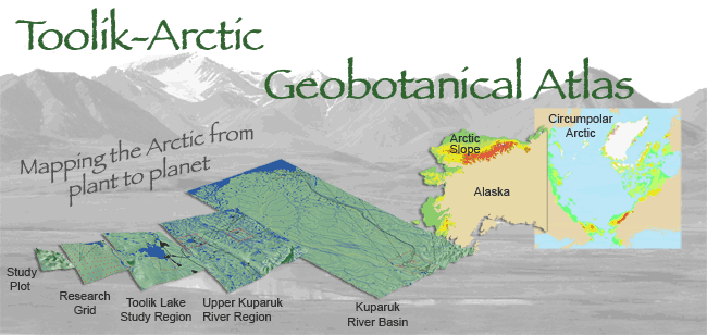
Arctic Geobotanical Atlas (University of Alaska)
Collection of maps illustrating the distribution of vegetation in the Arctic.
Subjects: Alaska, Atlas, Geobotany, Maps, Vegetation
- Type of access
- Free - Open Access
- Domain
- Natural Sciences
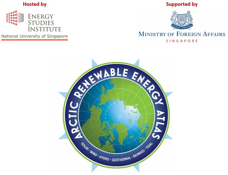
Arctic Renewable Energy Atlas
A collection of maps on the solar, wind, geothermal, and tidal resources of the Arctic prepared by the Arctic Council’s Sustainable Development Working Group.
Subjects: Atlas, Maps, Sustainable development, Renewable energies
- Type of access
- Free - Reference only
- Domain
- Engineering and Technology
- Natural Sciences
Atlas climatique des glaces de mer pour les eaux du Nord canadien, 1981 à 2010
Atlas showing average and maximum statistics for ice coverage in the Canadian Arctic and Hudson Bay.
Subjects: Atlas, Canadian arctic, Hudson Bay, Ice, Maps
- Type of access
- Free - Open Access
- Domain
- Natural Sciences
Atlas climatiques des glaces sur 30 ans
Atlas produced by the Canadian Ice Service, which provides the location of ice during the ice season, its coverage, thickness, and variability, for the period from 1981 to 2010. Features three volumes, including one on Northern Canadian waters and another on the East Coast.
Subjects: Atlas, Canadian arctic, Ice, Maps, Northern Canada
- Type of access
- Free - Open Access
- Domain
- Natural Sciences
Atlas des activités des chasseurs et piégeurs cris de Eeyou Istchee (Réseau DIALOG)
Interactive map of the activities of hunters and trappers in nine Cree communities in Eeyou Istchee (James Bay region) produced using annual statistical data (1977 to 2011) from the Cree Hunters and Trappers Income Security Board.
Subjects: Atlas, Cree, Hunting and fishing, Indigenous peoples, Maps
- Type of access
- Free - Open Access
- Domain
- Humanities and Social Sciences
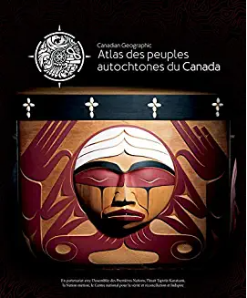
Atlas des peuples autochtones du Canada
Four-volume atlas presenting information on Indigenous communities, languages, education, treaties and territories, as well as residential schools, colonialism, racism and cultural appropriation. (Ottawa, Société géographique royale du Canada, 2018, 4 vol. )
Subjects: Atlas, Colonialism, Indian residential schools, Indigenous communities, Indigenous peoples, Inuit
- Type of access
- Free - Open Access
- Domain
- Humanities and Social Sciences
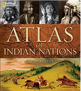
Atlas of Indian nations
Atlas with rich iconographic, cartographic, and textual content presenting the various nations of North America according to a wide range of themes. Includes relevant content about the First Peoples of the North and the Arctic. (Washington, National Geographic Society, 2013, 219 p.)
Subjects: Atlas, Indigenous peoples, Maps
- Type of access
- Printed document
- Reserved Access
- Domain
- Humanities and Social Sciences
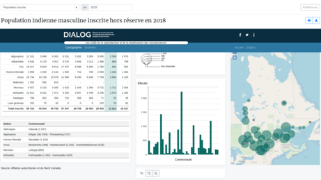
Atlas of Registered Aboriginal Population of Quebec (Réseau DIALOG)
Interactive map of statistical data on the registered Indian population in Quebec from 1998 to 2010, on-reserve and off-reserve.
Subjects: Atlas, Demographic statistics, Indigenous peoples, Maps, Population
- Type of access
- Free - Open Access
- Domain
- Humanities and Social Sciences
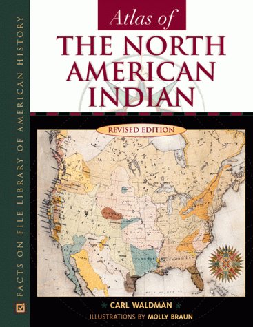
Atlas of the North American Indian
Atlas with a focus on the history, migrations, conflicts, lifestyles, and location of Indigenous Peoples in North America. Content related to Northern Canada and Alaska.
Subjects: Alaska, Atlas, Indigenous peoples, Maps, Northern Canada
- Type of access
- Printed document
- Domain
- Humanities and Social Sciences
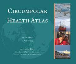
Circumpolar Health Atlas
Uses maps, tables, charts, and images to describe and explain the major health problems of the diverse peoples who inhabit the circumpolar region of the northern hemisphere.
Subjects: Atlas, Circumpolar North, Health, Indigenous peoples, Maps, Medical care, Social determinants of health
- Type of access
- Printed document
- Reserved Access
- Domain
- Health Sciences
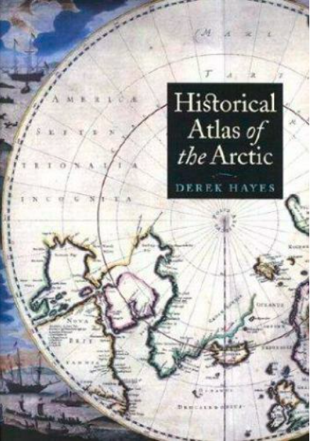
Historical atlas of the Arctic
An atlas presenting five centuries of polar exploration and mapping, from the first-ever print map of the region (Mercator, 1595) to contemporary mapping of the ocean depths using multibeam bathymetry.
Subjects: Atlas, Cartography, Discovery, Exploration, History
- Type of access
- Printed document
- Domain
- Humanities and Social Sciences
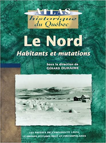
Le Nord : habitants et mutations
Historical atlas with rich textual content about the inhabitants of the North (people of the North Shore, Innu, Cree, Naskapi, and Inuit), exploration of the territory, and its maps, as well as industrialization of the region.
Subjects: Atlas, Indigenous peoples, Maps, Migration, Northern Quebec
- Type of access
- Printed document
- Reserved Access
- Domain
- Humanities and Social Sciences
Nan bei ji di tu ji = Atlas of the Arctic and Antarctica
Atlas featuring polar projection maps of the Arctic and Antarctic, as well as regional maps of these areas. The reference work also examines research zones near the poles, in particular those where China is conducting research.
- Type of access
- Printed document
- Domain
- Humanities and Social Sciences
- Natural Sciences

Nunavik: Inuit place name map series
Collection of large maps featuring traditional place names of places, lakes, and rivers Text in Inuktitut (syllabic fonts), English, and French.
Subjects: Atlas, Indigenous peoples, Maps, Northern Quebec, Nunavik
- Type of access
- Printed document
- Free - BAnQ Subscribers
- Domain
- Humanities and Social Sciences
Nunavut Atlas
Atlas depicting land and resource use as claimed by the Inuit as part of the process of the creation of Nunavut. Includes maps on the communities, wildlife, and geographic boundaries of the Inuit world.
Subjects: Borders, Atlas, Indigenous peoples, Inuit, Maps, Nunavut
- Type of access
- Printed document
- Domain
- Humanities and Social Sciences
- Natural Sciences
Soil atlas of the Northern circumpolar region
Atlas specializing in soils in the circumpolar North that looks at the composition, their classification and presentation of soils according to local perspectives, as well as how they are being impacted by climate change.
Subjects: Atlas, Climate change, Maps, Soils
- Type of access
- Printed document
- Domain
- Natural Sciences
The Atlas of Canada – Toporama (Gouvernement du Canada)
National, regional, and local topographic maps.
Subjects: Atlas, Maps, Topography, Toponyms
- Type of access
- Free - Open Access
- Domain
- Humanities and Social Sciences
- Natural Sciences