Atiku
The Northern and Arctic Studies Portal
Search results
1 to 2 to 2
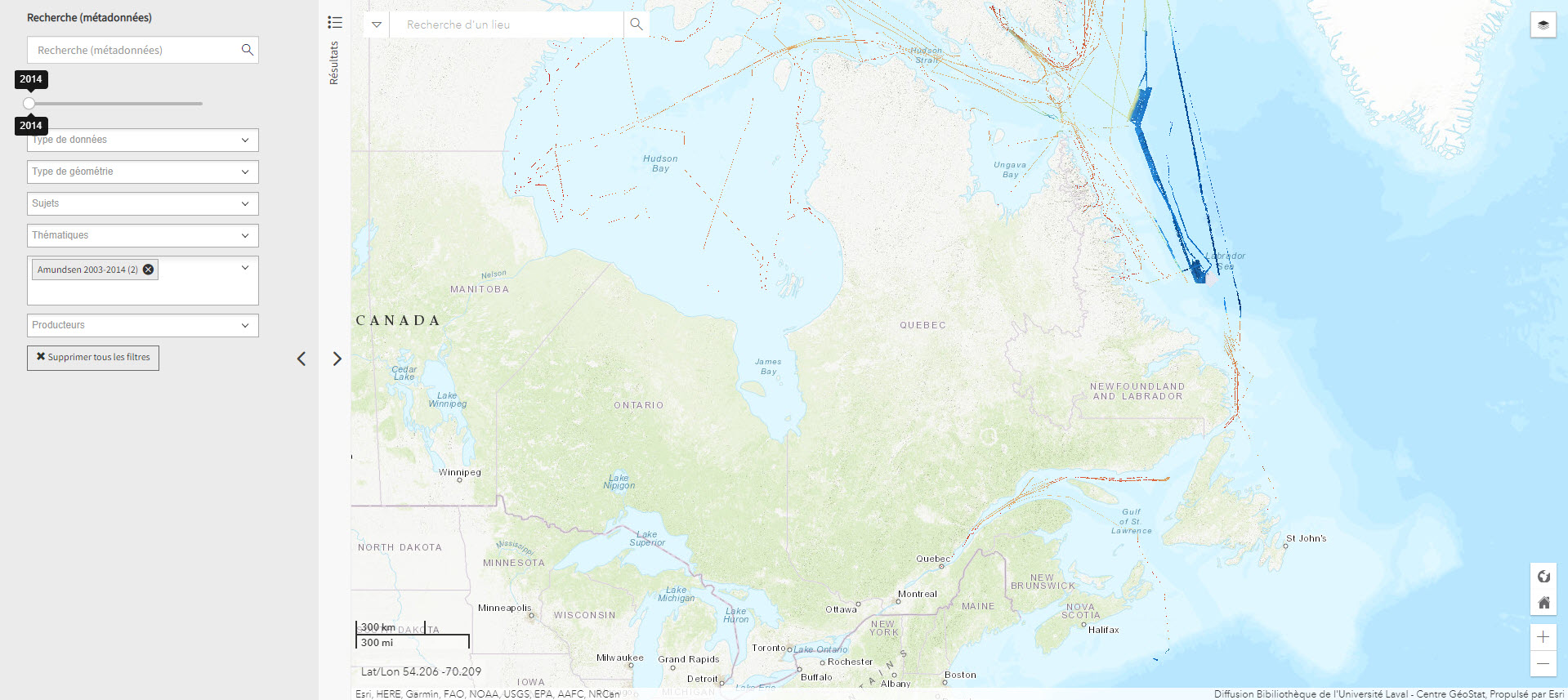
Données bathymétriques du NGCC Amundsen 2003-2014 (Géoindex)
Layer representing bathymetry data collected by the CCGS Amundsen and other scientific vessels between 2003 and 2014. Each tile covers 30 minutes longitude by 15 minutes latitude.
Subjects: NGCC Amundsen, Geospatial data, Canadian arctic, Bathymetry, Bathymetric data
- Type of access
- Reserved Access
- Domain
- Natural Sciences
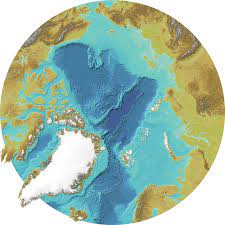
International Bathymetric Chart of the Arctic Ocean
Maps and bathymetric geospatial data of the Arctic north of the 64th parallel.
Subjects: Maps, Bathymetry
- Type of access
- Free - Open Access
- Domain
- Natural Sciences