Atiku
The Northern and Arctic Studies Portal
Resources
1 to 20 of 22
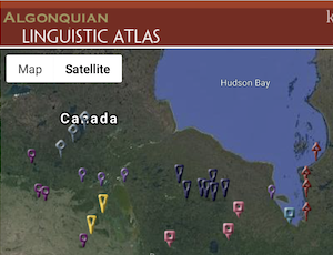
Algonquian Linguistics Atlas
Interactive map of Canada’s Algonquian languages, many of which are spoken in northern Indigenous communities.
- Type of access
- Free - Open Access
- Domain
- Humanities and Social Sciences
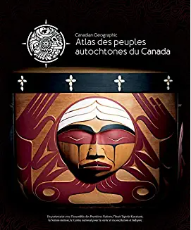
Atlas des peuples autochtones du Canada
Four-volume atlas presenting information on Indigenous communities, languages, education, treaties and territories, as well as residential schools, colonialism, racism and cultural appropriation. (Ottawa, Société géographique royale du Canada, 2018, 4 vol. )
Subjects: Atlas, Colonialism, Indian residential schools, Indigenous communities, Indigenous peoples, Inuit
Share this resource
To cite
- Type of access
- Free - Open Access
- Domain
- Humanities and Social Sciences
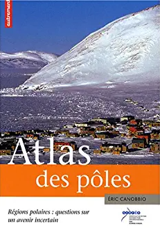
Atlas des pôles : régions polaires : questions sur un avenir incertain
Atlas published by Éditions Autrement presenting the physical and natural environment, First Nations, and environmental, climatic, and geopolitical issues associated with the Arctic and the Antarctic.
- Type of access
- Printed document
- Domain
- Humanities and Social Sciences
- Natural Sciences
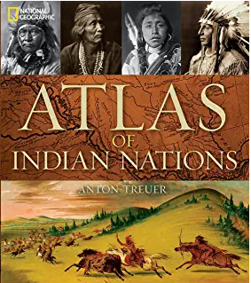
Atlas of Indian nations
Atlas with rich iconographic, cartographic, and textual content presenting the various nations of North America according to a wide range of themes. Includes relevant content about the First Peoples of the North and the Arctic. (Washington, National Geographic Society, 2013, 219 p.)
- Type of access
- Printed document
- Reserved Access
- Domain
- Humanities and Social Sciences
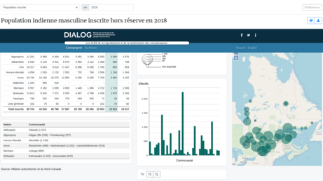
Atlas of Registered Aboriginal Population of Quebec (Réseau DIALOG)
Interactive map of statistical data on the registered Indian population in Quebec from 1998 to 2010, on-reserve and off-reserve.
Subjects: Atlas, Demographic statistics, Indigenous peoples, Maps, Population
Share this resource
To cite
- Type of access
- Free - Open Access
- Domain
- Humanities and Social Sciences
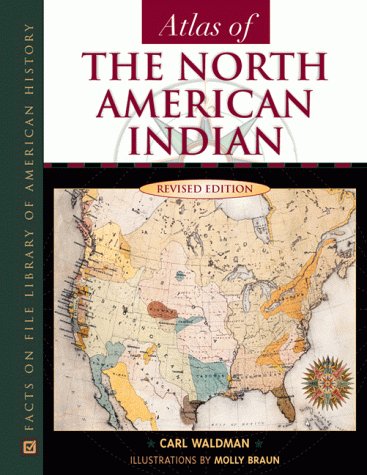
Atlas of the North American Indian
Atlas with a focus on the history, migrations, conflicts, lifestyles, and location of Indigenous Peoples in North America. Content related to Northern Canada and Alaska.
- Type of access
- Printed document
- Domain
- Humanities and Social Sciences
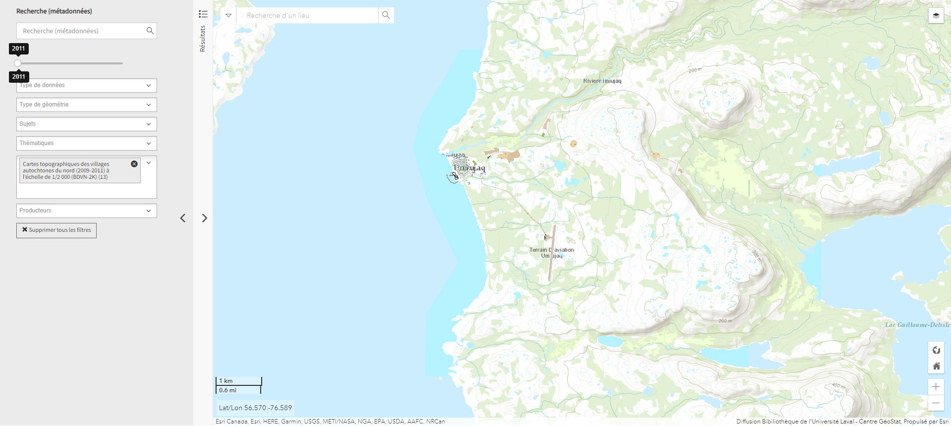
Cartes topographiques des villages autochtones du nord (2009-2011) à l’échelle de 1/2 000 (BDVN-2K) (Géoindex)
A collection of 22 layers of geospatial data comprising a valuable geographic reference tool for organizations working in these regions.
- Type of access
- Reserved Access
- Domain
- Humanities and Social Sciences
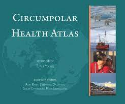
Circumpolar Health Atlas
Uses maps, tables, charts, and images to describe and explain the major health problems of the diverse peoples who inhabit the circumpolar region of the northern hemisphere.
Subjects: Atlas, Circumpolar North, Health, Indigenous peoples, Maps, Medical care, Social determinants of health
Share this resource
To cite
- Type of access
- Printed document
- Reserved Access
- Domain
- Health Sciences
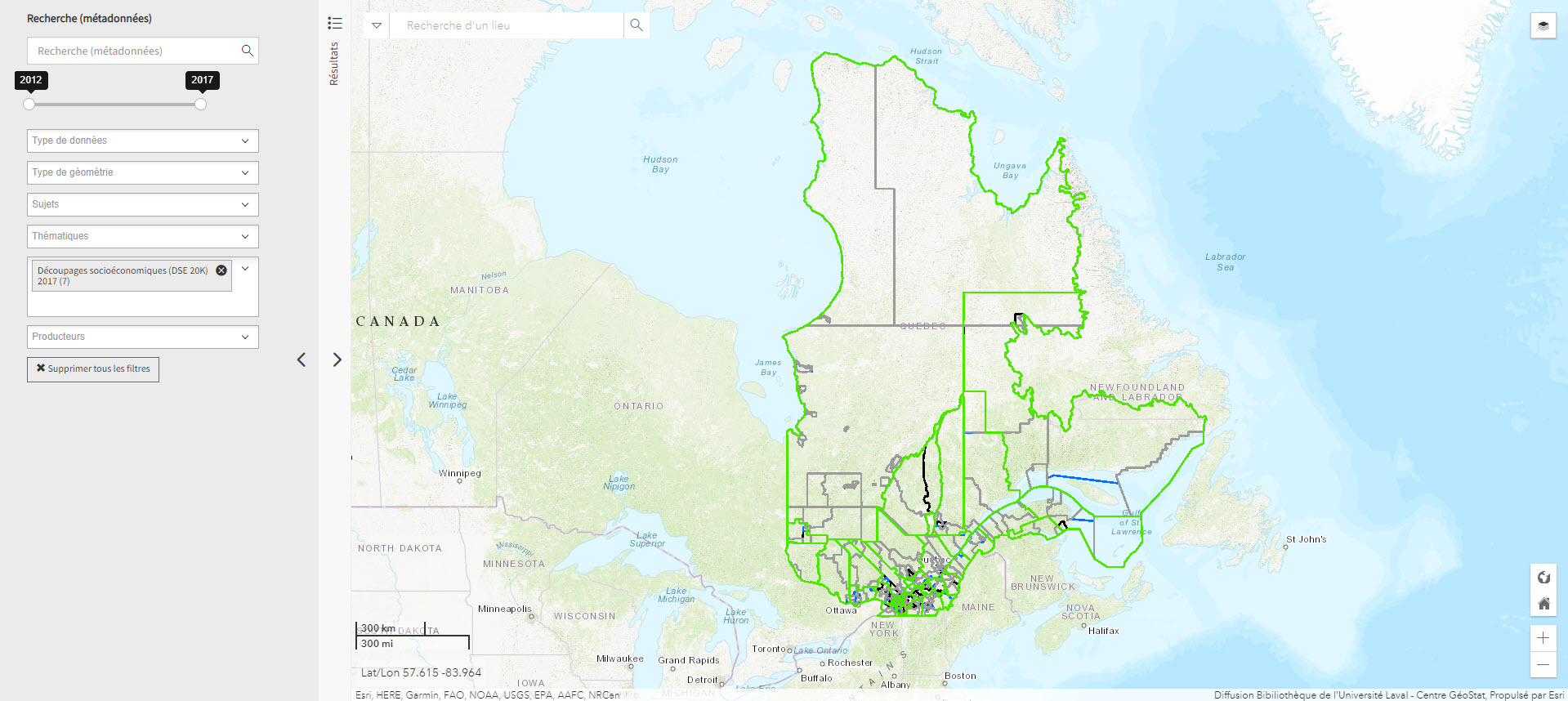
Découpages socio-économiques (DSE 20K) 2017 (Géoindex)
A collection of 7 layers of geospatial data for Quebec representing certain boundaries in the fields of health, elections, education, justice, and land.
- Type of access
- Reserved Access
- Domain
- Humanities and Social Sciences
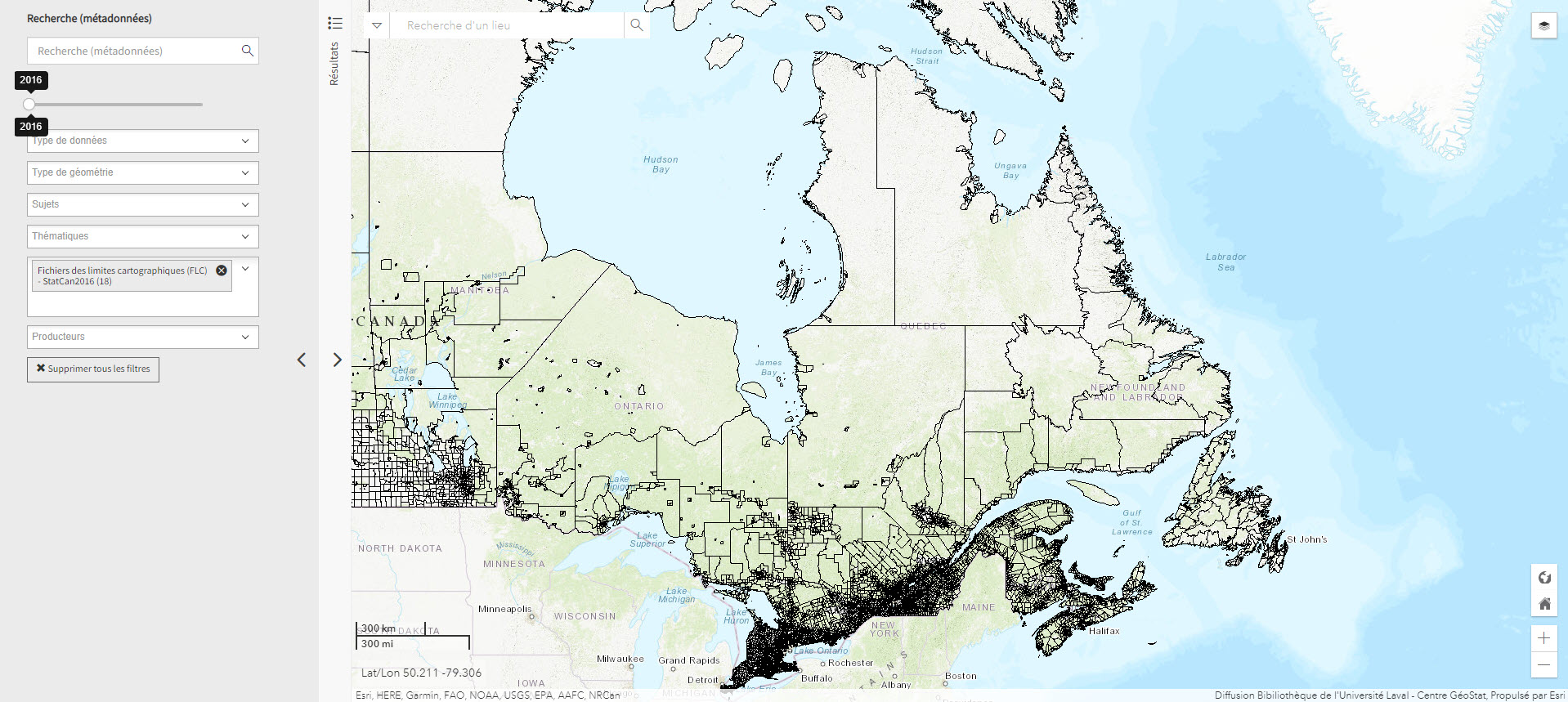
Fichier de limites cartographique de Statistiques Canada (2016) (Géoindex)
A collection of 13 layers of geospatial data representing the boundaries of census data release units by Statistics Canada. When used in conjunction with census data, these files are useful for thematic mapping.
- Type of access
- Reserved Access
- Domain
- Humanities and Social Sciences
First Nation Profile Interactive Map (Gouvernement du Canada)
Map of Indigenous communities in Canada, with access to information about them.
- Type of access
- Free - Open Access
- Domain
- Humanities and Social Sciences
GéoInfo – Territoire nordique (Gouvernement du Québec)
Compilation of data on Northern Quebec, some of which is freely accessible.
- Type of access
- Free - Reference only
- Free - Open Access
- Domain
- Humanities and Social Sciences
- Natural Sciences
Inuit Nunangat (Government of Canada) (Gouvernement du Canada)
Map of 53 Inuit communities in Northern Canada.
- Type of access
- Free - Open Access
- Domain
- Humanities and Social Sciences
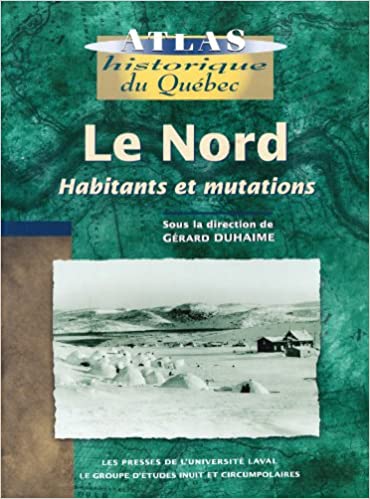
Le Nord : habitants et mutations
Historical atlas with rich textual content about the inhabitants of the North (people of the North Shore, Innu, Cree, Naskapi, and Inuit), exploration of the territory, and its maps, as well as industrialization of the region.
- Type of access
- Printed document
- Reserved Access
- Domain
- Humanities and Social Sciences
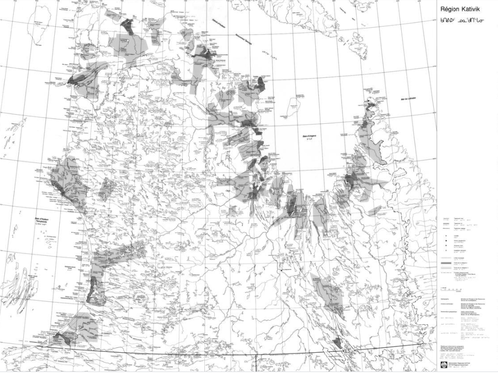
Map of the Kativik region (BAnQ)
Geographic map (scale 1: 1,000,000) of the Kativik region illustrating, among other things, the ancient settlements with Inuit, Cree and Naskapi toponyms.
- Type of access
- Free - Open Access
- Domain
- Humanities and Social Sciences
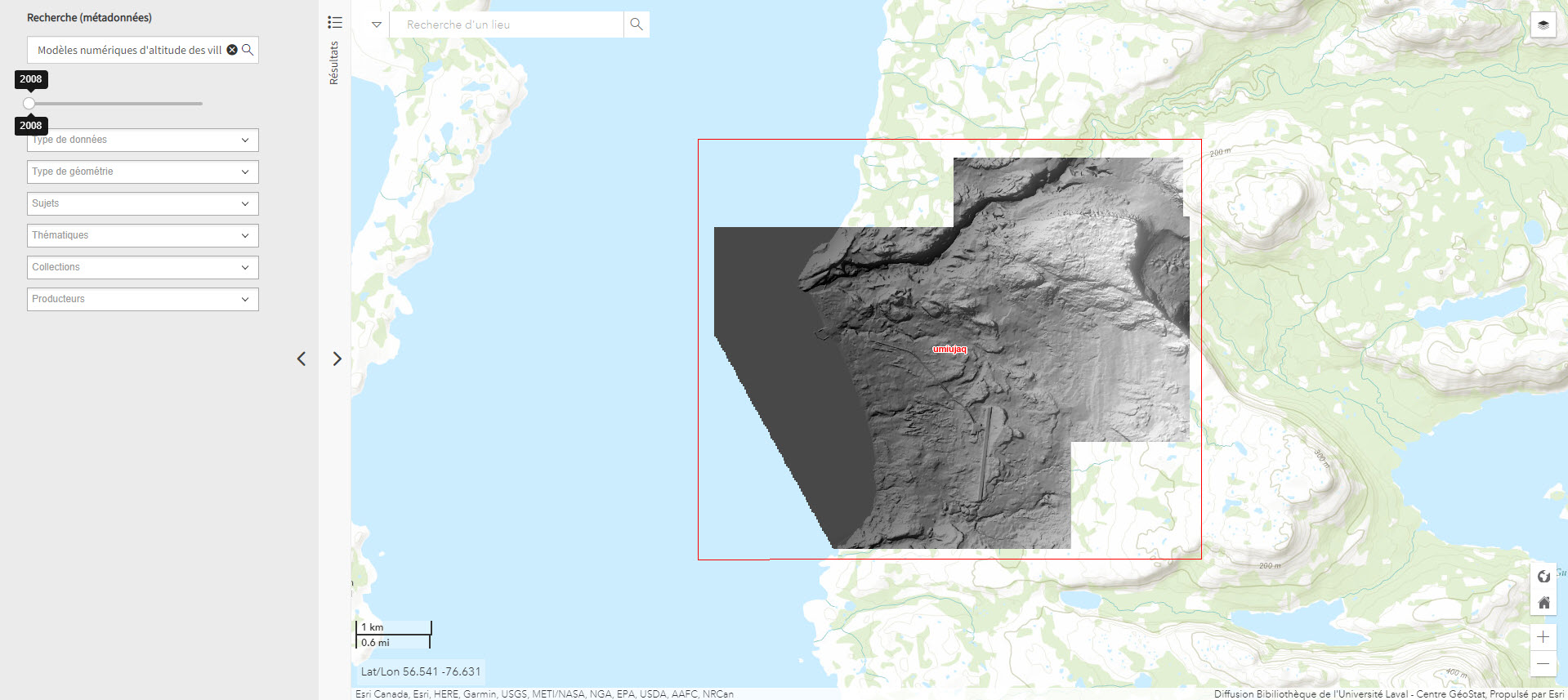
Modèles numériques d’altitude des villages nordiques à l’échelle 1/2 000 (Géoindex)
Includes digital elevation models covering Inuit villages located north of the 55th parallel. The documents in this series are digital elevation matrices accurate to within one metre.
Subjects: Digital elevation model, Geospatial data, Indigenous peoples, Inuit, Villages
Share this resource
To cite
- Type of access
- Reserved Access
- Domain
- Humanities and Social Sciences
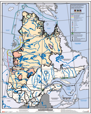
Northern Quebec (Environment Canada) (Environnement Canada)
Map depicting Indigenous lands, nations, and marine regions, as well as administrative regions, municipalities, and hydroelectric power plants.
- Type of access
- Free - Open Access
- Domain
- Humanities and Social Sciences

Nunavik: Inuit place name map series
Collection of large maps featuring traditional place names of places, lakes, and rivers Text in Inuktitut (syllabic fonts), English, and French.
- Type of access
- Printed document
- Free - BAnQ Subscribers
- Domain
- Humanities and Social Sciences
Nunavut Atlas
Atlas depicting land and resource use as claimed by the Inuit as part of the process of the creation of Nunavut. Includes maps on the communities, wildlife, and geographic boundaries of the Inuit world.
- Type of access
- Printed document
- Domain
- Humanities and Social Sciences
- Natural Sciences
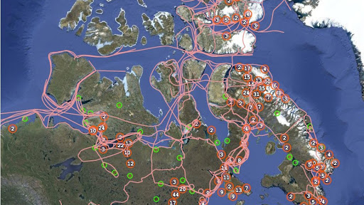
Pan Inuit Trails
Atlas showing Inuit occupancy of the Northwest Passage region, specifically traditional Inuit trails across the Arctic.
- Type of access
- Free - Open Access
- Domain
- Humanities and Social Sciences