Atiku
The Northern and Arctic Studies Portal
Resources
21 to 20 of 52
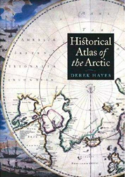
Historical atlas of the Arctic
An atlas presenting five centuries of polar exploration and mapping, from the first-ever print map of the region (Mercator, 1595) to contemporary mapping of the ocean depths using multibeam bathymetry.
- Type of access
- Printed document
- Domain
- Humanities and Social Sciences
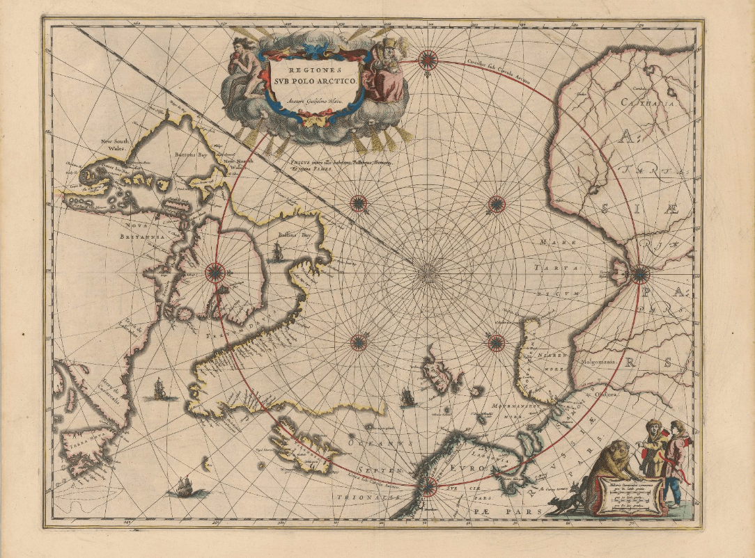
Historical maps: Arctic (BAnQ)
Corpus of fifteen old maps dating from the 17th to the 20th century. These documents bear witness to the Arctic expeditions and explorations carried out by several generations of European explorers in search of the Northwest Passage. These documents reflect the advancement of knowledge of the Arctic coastline of North America. The information on these maps is based among other things on the discoveries of Martin Frobisher, William Baffin, etc.
Subjects: Arctic archipelago, Baffin bay, Canadian arctic, Cartography, Circumpolar Arctic, Davis Strait, Greenland, Hudson Strait, Maps, Northwest Passage
Share this resource
To cite
- Type of access
- Free - Open Access
- Domain
- Humanities and Social Sciences
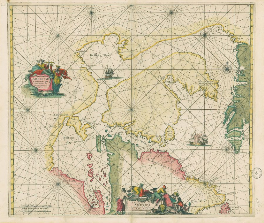
Historical maps: Circumpolar North (BAnQ)
Corpus of ancient maps of various kinds that represent the greater circumpolar region.
- Type of access
- Free - Open Access
- Domain
- Humanities and Social Sciences
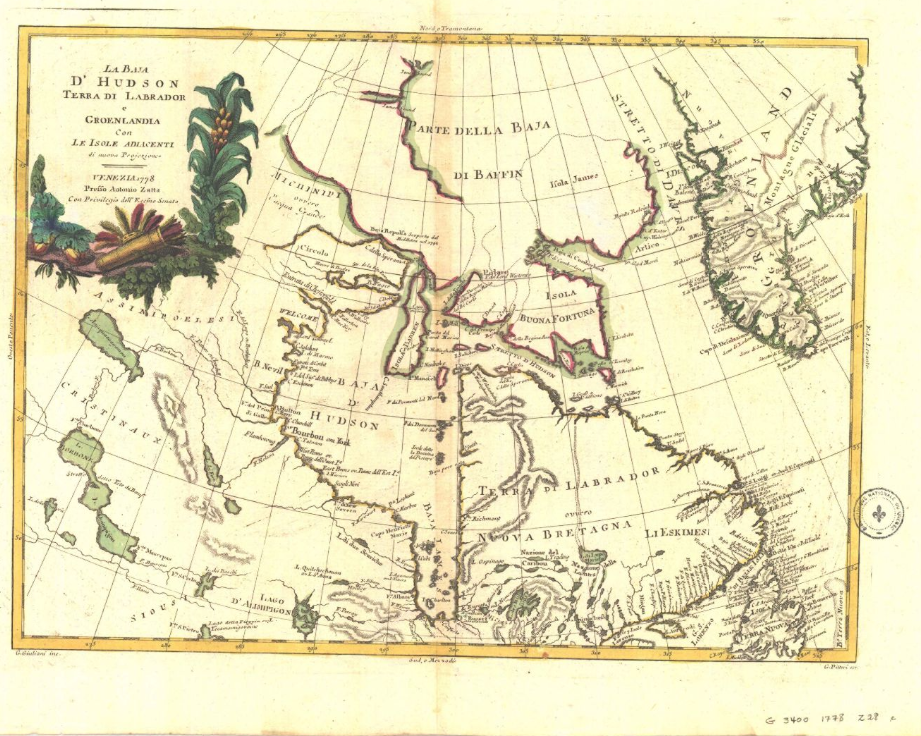
Historical maps: Hudson’s Bay (BAnQ)
Corpus of historical maps dating from the 17th and 18th century and allowing to visualize the territorial evolution of Hudson Bay. Their representation of Hudson’s Bay is inspired, among other things, by the explorations of Henry Hudson and Thomas James. These maps relate the French and English expeditions to this much coveted territory because of its strategic positioning for the fur trade in Europe.
Subjects: Cartography, Hudson Bay, Hudson’s Bay Company, Maps, New France
Share this resource
To cite
- Type of access
- Free - Open Access
- Domain
- Humanities and Social Sciences
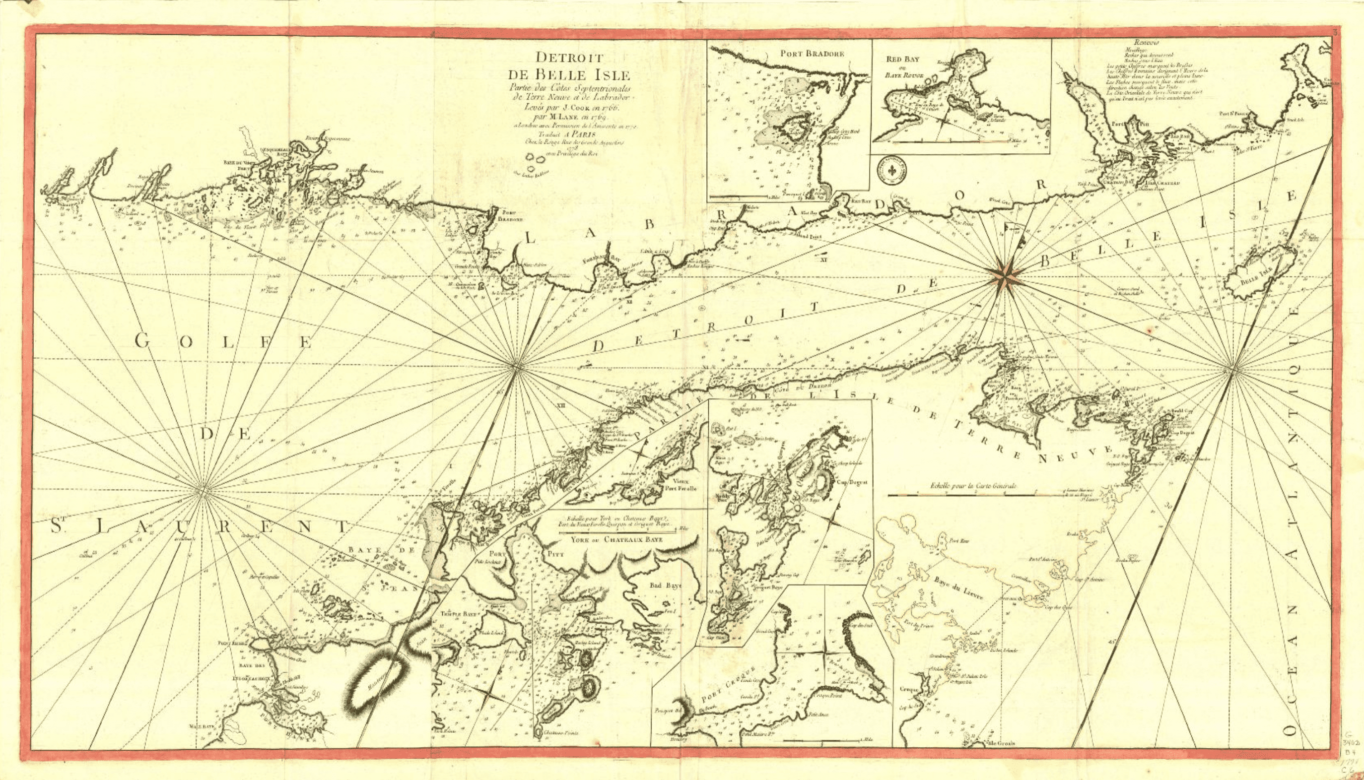
Historical maps: Strait of Belle Isle (BAnQ)
Corpus of ancient maps of the Strait of Belle Isle, including parts of the coasts of Newfoundland and Labrador.
- Type of access
- Free - Open Access
- Domain
- Humanities and Social Sciences
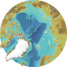
International Bathymetric Chart of the Arctic Ocean
Maps and bathymetric geospatial data of the Arctic north of the 64th parallel.
- Type of access
- Free - Open Access
- Domain
- Natural Sciences
Inuit Nunangat (Government of Canada) (Gouvernement du Canada)
Map of 53 Inuit communities in Northern Canada.
- Type of access
- Free - Open Access
- Domain
- Humanities and Social Sciences
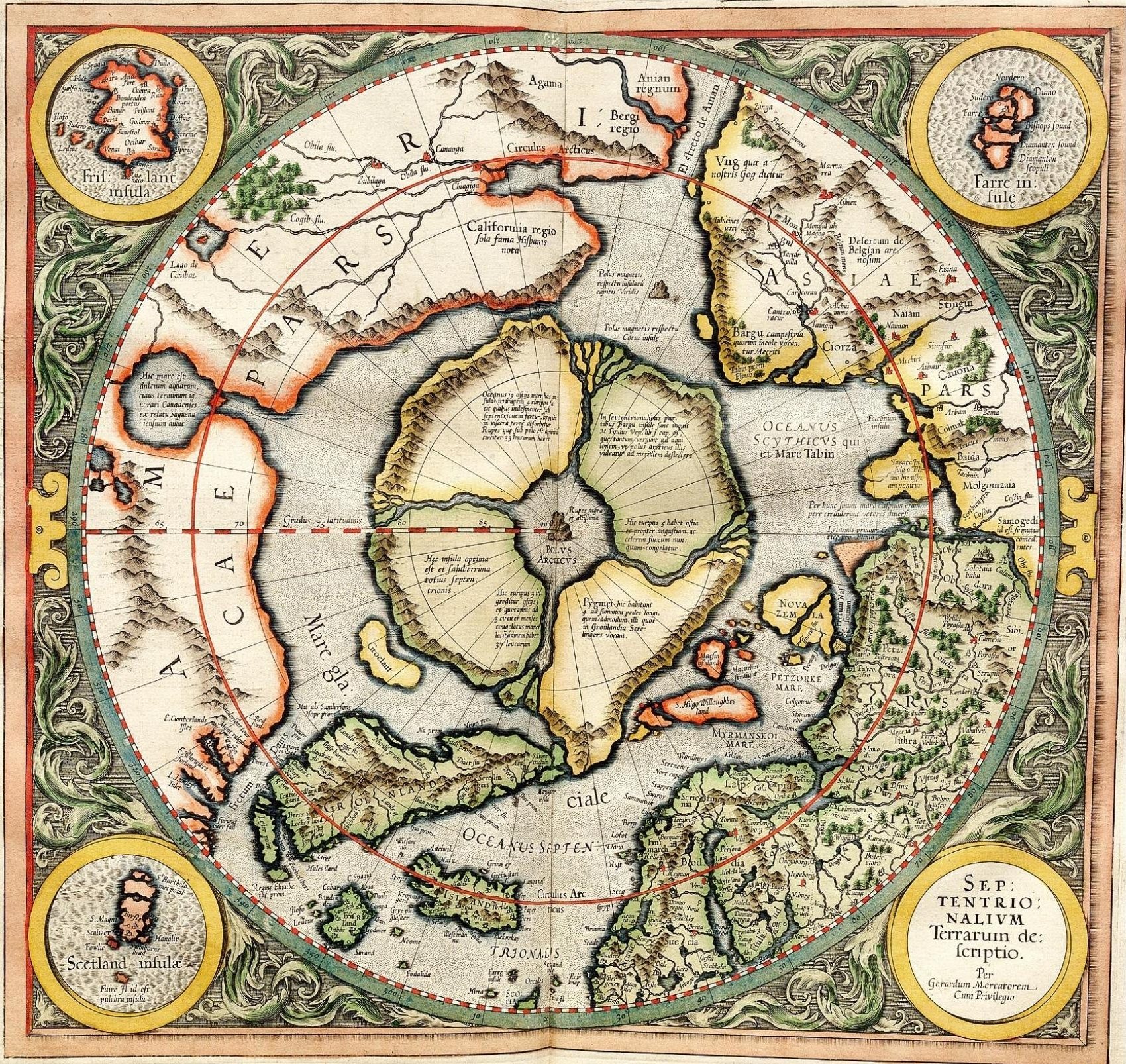
L’Apparition du Nord selon Gérard Mercator (Université Laval)
Web platform that offers an interactive reading of the first printed map (1595) of the circumpolar North.
Subjects: Cartography, Circumpolar North, Gerardus Mercator, Maps, Polar projection
Share this resource
To cite
- Type of access
- Printed document
- Free - Open Access
- Domain
- Humanities and Social Sciences
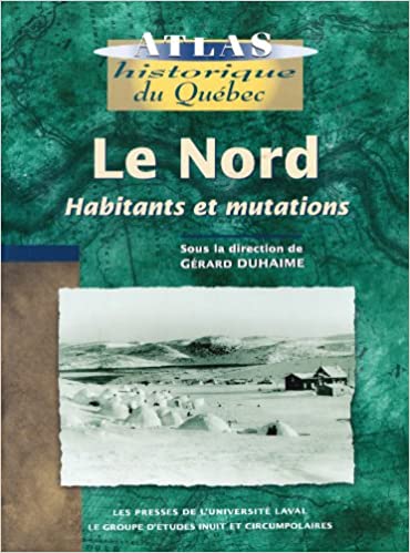
Le Nord : habitants et mutations
Historical atlas with rich textual content about the inhabitants of the North (people of the North Shore, Innu, Cree, Naskapi, and Inuit), exploration of the territory, and its maps, as well as industrialization of the region.
- Type of access
- Printed document
- Reserved Access
- Domain
- Humanities and Social Sciences
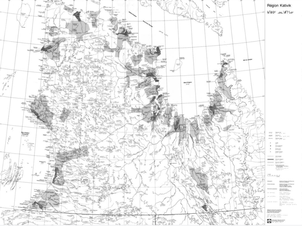
Map of the Kativik region (BAnQ)
Geographic map (scale 1: 1,000,000) of the Kativik region illustrating, among other things, the ancient settlements with Inuit, Cree and Naskapi toponyms.
- Type of access
- Free - Open Access
- Domain
- Humanities and Social Sciences
Maps – United States Arctic Research Commission
Maps and geospatial data of the boundaries of the Arctic.
- Type of access
- Free - Open Access
- Domain
- Natural Sciences
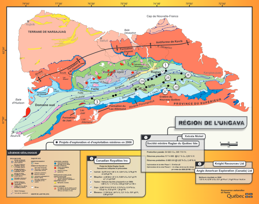
Maps of mining activity in the James Bay and Ungava regions (BAnQ)
Group of geographical maps that compile information relating to mining activity in the James Bay and Ungava regions.
- Type of access
- Free - Open Access
- Domain
- Natural Sciences

Maritime jurisdiction and boundaries in the Arctic region (Durham University)
Map of maritime zones and Arctic boundaries.
- Type of access
- Free - Open Access
- Domain
- Humanities and Social Sciences
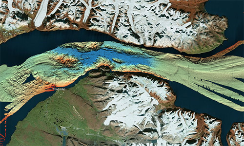
Nan bei ji di tu ji = Atlas of the Arctic and Antarctica
Atlas featuring polar projection maps of the Arctic and Antarctic, as well as regional maps of these areas. The reference work also examines research zones near the poles, in particular those where China is conducting research.
- Type of access
- Printed document
- Domain
- Humanities and Social Sciences
- Natural Sciences
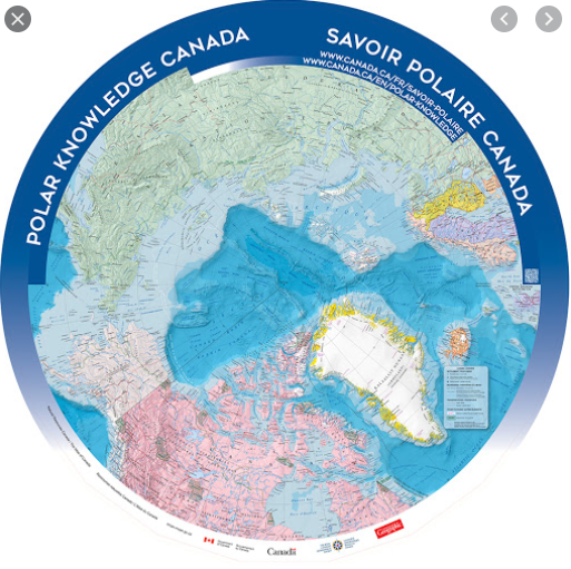
North Circumpolar Map (Gouvernement du Canada)
Polar projection map produced in 2016 indicating settlements, boundaries, transportation networks, glaciers, and national parks.
- Type of access
- Free - Open Access
- Domain
- Humanities and Social Sciences
- Natural Sciences
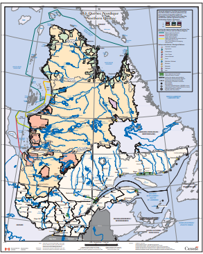
Northern Quebec (Environment Canada) (Environnement Canada)
Map depicting Indigenous lands, nations, and marine regions, as well as administrative regions, municipalities, and hydroelectric power plants.
- Type of access
- Free - Open Access
- Domain
- Humanities and Social Sciences
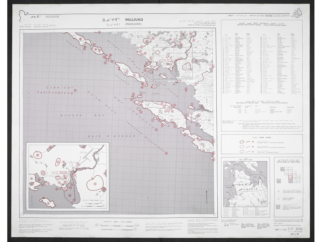
Nunavik: Inuit place name map series
Collection of large maps featuring traditional place names of places, lakes, and rivers Text in Inuktitut (syllabic fonts), English, and French.
- Type of access
- Printed document
- Free - BAnQ Subscribers
- Domain
- Humanities and Social Sciences
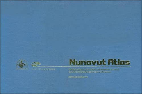
Nunavut Atlas
Atlas depicting land and resource use as claimed by the Inuit as part of the process of the creation of Nunavut. Includes maps on the communities, wildlife, and geographic boundaries of the Inuit world.
- Type of access
- Printed document
- Domain
- Humanities and Social Sciences
- Natural Sciences
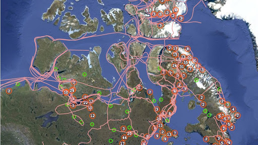
Pan Inuit Trails
Atlas showing Inuit occupancy of the Northwest Passage region, specifically traditional Inuit trails across the Arctic.
- Type of access
- Free - Open Access
- Domain
- Humanities and Social Sciences
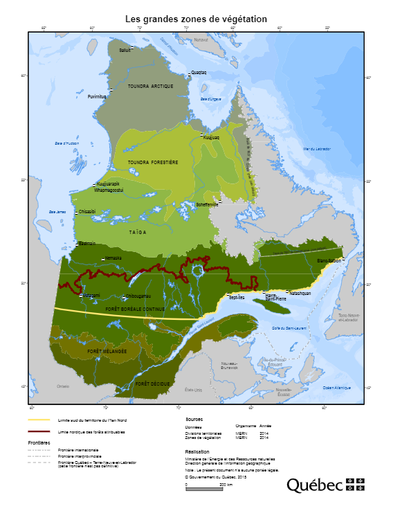
Plan Nord maps (BAnQ)
Collection of geographic and thematic maps (actives mines and mining projects, electricity generation, wildlife areas, vegetation zones, aboriginal communities, etc.) from the Plan Nord program, dedicated to the sustainable development and the enhancement of the resources of northern Quebec.
Subjects: Arctic fauna, Energy, Indigenous communities, Mine exploration, Mining, Mines, Vegetation
Share this resource
To cite
- Type of access
- Free - Open Access
- Domain
- Engineering and Technology
- Humanities and Social Sciences
- Natural Sciences