Atiku
The Northern and Arctic Studies Portal
Resources
41 to 20 of 52
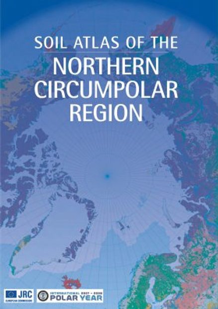
Soil atlas of the Northern circumpolar region
Atlas specializing in soils in the circumpolar North that looks at the composition, their classification and presentation of soils according to local perspectives, as well as how they are being impacted by climate change.
- Type of access
- Printed document
- Domain
- Natural Sciences
The Atlas of Canada – Toporama (Gouvernement du Canada)
National, regional, and local topographic maps.
- Collection
- Type of access
- Free - Open Access
- Domain
- Humanities and Social Sciences
- Natural Sciences
The Danish Arctic Institute digital collections
Four distinct digitized collections available in open access grouped together on the same research platform. There are around 175,000 photographs (fotografier), around fifty old maps (kort), more than 2,000 artefacts (kunst og genstande) as well as 445 audio recordings (lyd). The site is partially translated into English.
- Type of access
- Free - Open Access
- Domain
- Humanities and Social Sciences
The North Data
A selection of geospatial data from Natural Resources Canada on geology, ice, snow, the seabed, etc.
- Type of access
- Free - Open Access
- Domain
- Natural Sciences
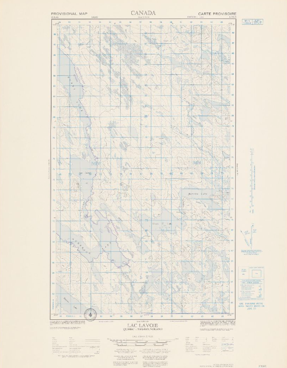
Topographic maps (NTS 13: Côte-Nord)
Corpus of topographic maps of the North Shore of Quebec at a scale of 1: 50,000. The first level NTS number representing the geographic area concerned is 13.
- Type of access
- Free - Open Access
- Domain
- Natural Sciences
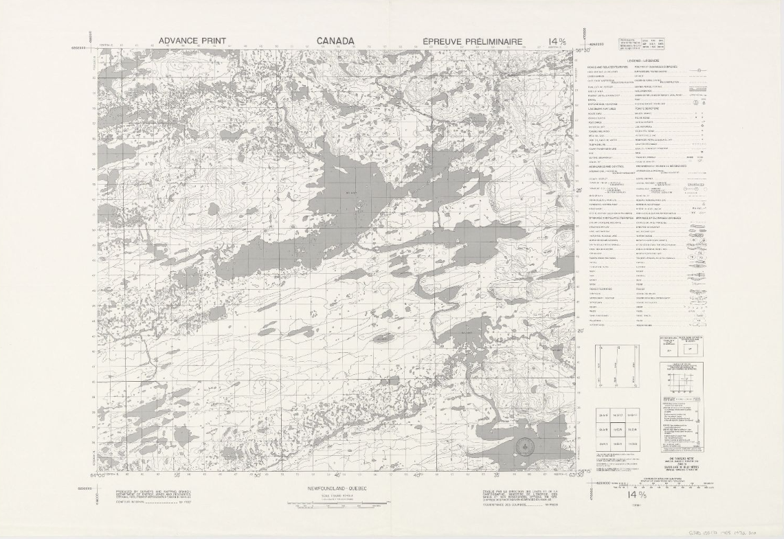
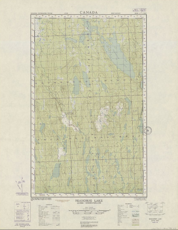
Topographic maps (NTS 14: Nord-du-Québec)
Corpus of topographic maps of Nord-du-Québec at a scale of 1: 50,000. The first-level NTS number representing the geographic area concerned is 14.
- Type of access
- Free - Open Access
- Domain
- Natural Sciences
Topographic maps (NTS 23: Côte-Nord)
Corpus of topographic maps of Nord-du-Québec at a scale of 1: 50,000. The NTS number representing the geographic area concerned is 23.
- Type of access
- Free - Open Access
- Domain
- Natural Sciences
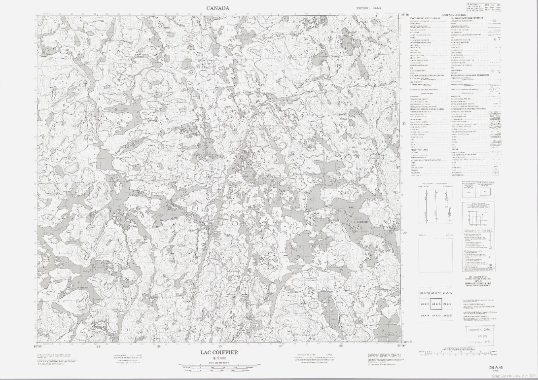
Topographic maps (NTS 24: Nord-du-Québec)
Corpus of topographic maps of Nord-du-Québec at a scale of 1: 50,000. The NTS number representing the geographic area concerned is 24.
- Type of access
- Free - Open Access
- Domain
- Natural Sciences
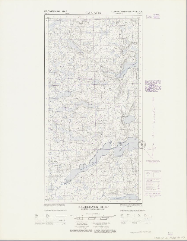
Topographic maps (NTS 25: Nord-du-Québec)
Corpus of topographic maps of Nord-du-Québec at a scale of 1: 50,000. The NTS number representing the geographic area concerned is 25.
- Type of access
- Free - Open Access
- Domain
- Natural Sciences
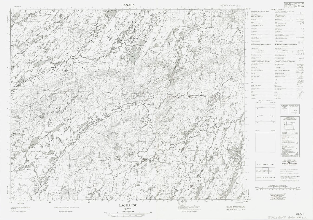
Topographic maps (NTS 33: Nord-du-Québec)
Corpus of topographic maps of Nord-du-Québec at the scale of 1: 50,000. The NTS number representing the geographic area concerned is 33.
- Type of access
- Free - Open Access
- Domain
- Natural Sciences
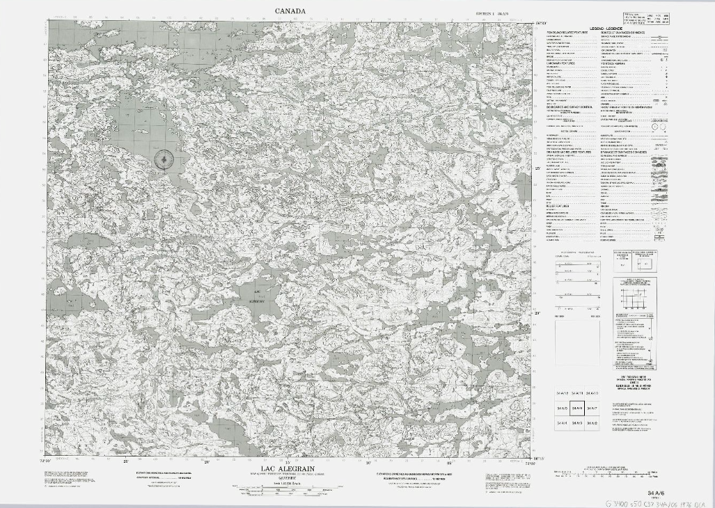
Topographic maps (NTS 34: Nord-du-Québec)
Corpus of topographic maps of Nord-du-Québec at the scale of 1: 50,000. The NTS number representing the geographic area concerned is 34.
- Type of access
- Free - Open Access
- Domain
- Natural Sciences
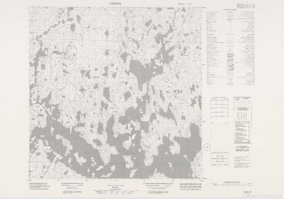
Topographic maps (NTS 35: Nord-du-Québec)
Corpus of topographic maps of Nord-du-Québec at the scale of 1: 50,000. The NTS number representing the geographic area concerned is 35.
- Type of access
- Free - Open Access
- Domain
- Natural Sciences