Atiku
The Northern and Arctic Studies Portal
Resources
21 to 20 of 26
Nunavut Atlas
Atlas depicting land and resource use as claimed by the Inuit as part of the process of the creation of Nunavut. Includes maps on the communities, wildlife, and geographic boundaries of the Inuit world.
- Type of access
- Printed document
- Domain
- Humanities and Social Sciences
- Natural Sciences
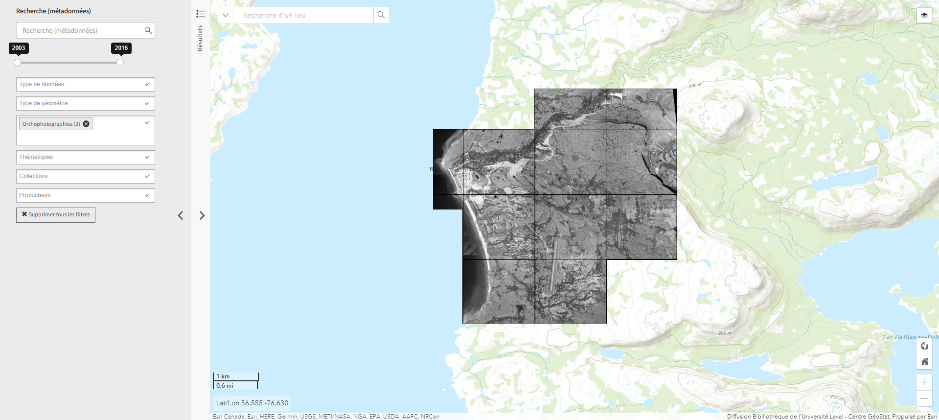
Orthophotographie noir et blanc des villages nordiques 1/10 000 (2004) (Géoindex)
Set of 161 digital orthophotos representing northern villages (1:10,000).
- Type of access
- Reserved Access
- Domain
- Humanities and Social Sciences
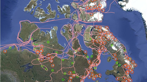
Pan Inuit Trails
Atlas showing Inuit occupancy of the Northwest Passage region, specifically traditional Inuit trails across the Arctic.
- Type of access
- Free - Open Access
- Domain
- Humanities and Social Sciences
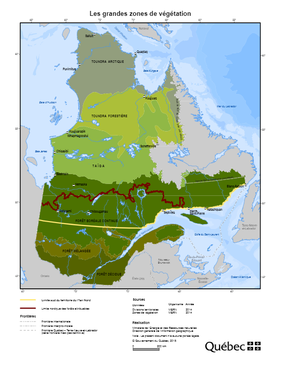
Plan Nord maps (BAnQ)
Collection of geographic and thematic maps (actives mines and mining projects, electricity generation, wildlife areas, vegetation zones, aboriginal communities, etc.) from the Plan Nord program, dedicated to the sustainable development and the enhancement of the resources of northern Quebec.
Subjects: Arctic fauna, Energy, Indigenous communities, Mine exploration, Mining, Mines, Vegetation
Share this resource
To cite
- Type of access
- Free - Open Access
- Domain
- Engineering and Technology
- Humanities and Social Sciences
- Natural Sciences
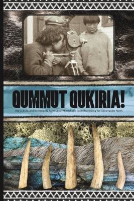
Qummut qukiria!: art, culture, and sovereignty across Inuit Nunaat and Sápmi : mobilizing the circumpolar north
Qummut Qukiria! celebrates art and culture within and beyond traditional Inuit and Sámi homelands in the Circumpolar Arctic — from the recovery of traditional practices such as storytelling and skin sewing to the development of innovative new art forms such as throatboxing (a hybrid of traditional Inuit throat singing and beatboxing). In this illuminating book, curators, scholars, artists, and activists from Inuit Nunangat, Kalaallit Nunaat, Sápmi, Canada, and Scandinavia address topics as diverse as Sámi rematriation and the revival of the ládjogahpir (a traditional woman’s headgear), the experience of bringing Inuit stone carving to a workshop for inner-city youth, and the decolonizing potential of Traditional Knowledge and its role in contemporary design and beyond. Qummut Qukiria! showcases the thriving art and culture of the Indigenous Circumpolar peoples in the present and demonstrates its importance for the revitalization of language, social well-being, and cultural identity (Igloliorte, H. L., Lundström, J.-E., & Hudson, A. (2022). Qummut qukiria!: Art, culture, and sovereignty across Inuit Nunaat and Sápmi: Mobilizing the circumpolar north. Goose Lane Editions)
Subjects: Circumpolar Arctic, Circumpolar North, Cultural identity, Indigenous art, Indigenous artists, Indigenous languages, Inuit
Share this resource
To cite
- Type of access
- Printed document
- Domain
- Humanities and Social Sciences
The Atlas of Canada – Toporama (Gouvernement du Canada)
National, regional, and local topographic maps.
- Collection
- Type of access
- Free - Open Access
- Domain
- Humanities and Social Sciences
- Natural Sciences