Atiku
The Northern and Arctic Studies Portal
Search results
1 to 2 to 2
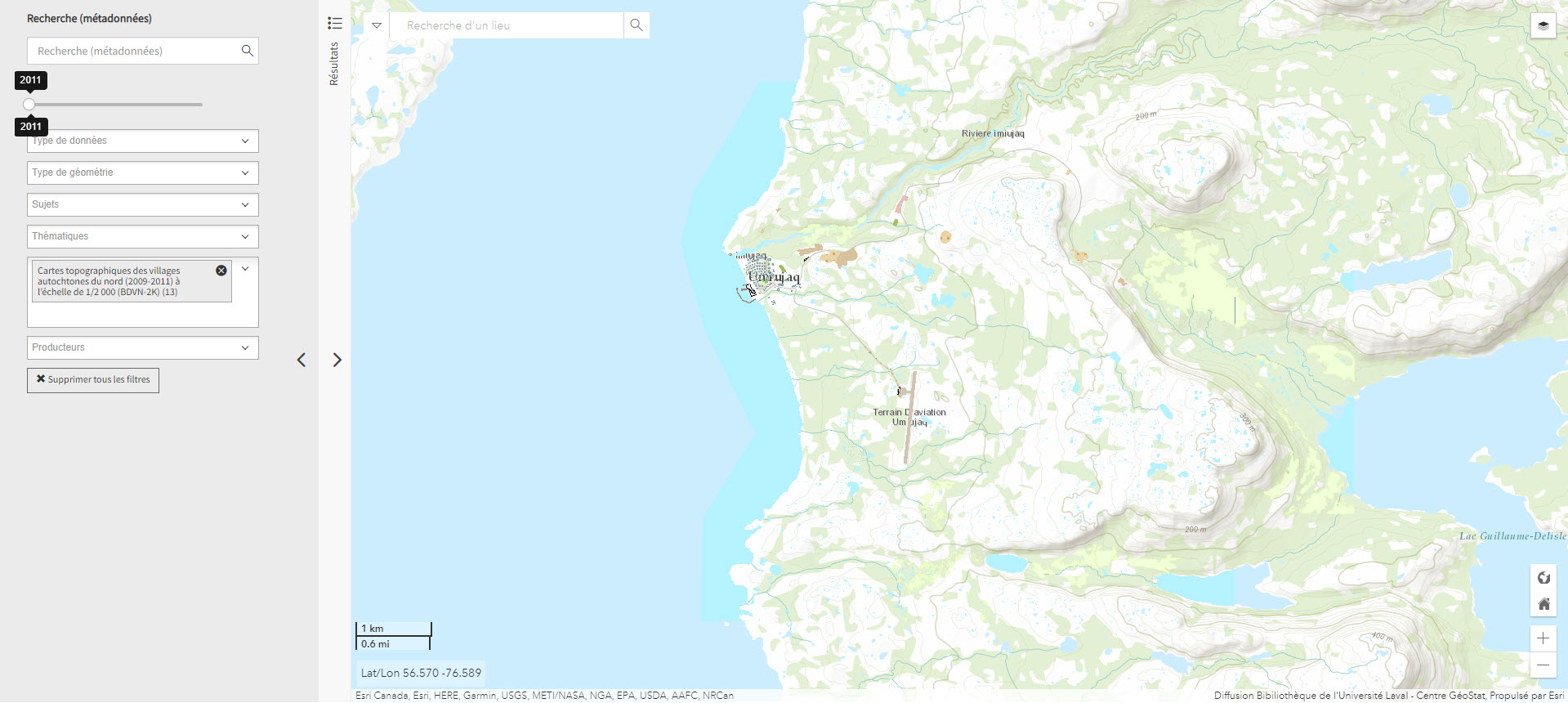
Cartes topographiques des villages autochtones du nord (2009-2011) à l’échelle de 1/2 000 (BDVN-2K) (Géoindex)
A collection of 22 layers of geospatial data comprising a valuable geographic reference tool for organizations working in these regions.
Subjects: Villages, Topography, Northern Quebec, Topographic maps
- Type of access
- Reserved Access
- Domain
- Humanities and Social Sciences
The Atlas of Canada – Toporama (Gouvernement du Canada)
National, regional, and local topographic maps.
Subjects: Toponyms, Topography, Maps, Atlas
- Type of access
- Free - Open Access
- Domain
- Natural Sciences
- Humanities and Social Sciences